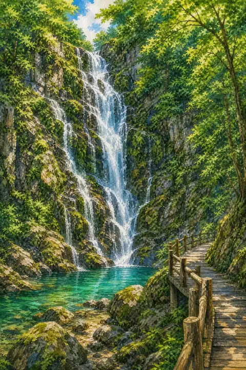
Akame 48 Waterfalls
Also written: 赤目四十八滝 · 赤目四十八瀑 · 赤目四十八瀑
A mystical series of waterfalls reputedly used as a training ground for ninjas, popular with visitors for nature walks and hiking.
An Illustrated Japan

Mizuky Workshop / An Illustrated Japan / Mie / Townscape & Scenery / Akame 48 Waterfalls
Also written: 赤目四十八滝 · 赤目四十八瀑 · 赤目四十八瀑
A mystical series of waterfalls reputedly used as a training ground for ninjas, popular with visitors for nature walks and hiking.
An Illustrated Japan
In Mie, Akame 48 Waterfalls stands as a representative townscape & scenery where natural conditions and human use have learned to coexist. Its presence gives orientation to the surrounding basin and neighborhoods. Archival traces include Meiji-era land registers and Taisho and early Showa maps, along with later municipal assessments that recognized the place as a community asset. Local historians point to name variations found in Edo-period village pictures and in family donation ledgers. Physical evidence such as recovered roof tiles, pottery shards and stone foundations suggests the settlement footprint was once wider. Annual repair records show how flood, fire and typhoon prompted incremental changes rather than wholesale replacement. The approach itself teaches you about scale. Slope, pass or valley floor modulates the view, and vegetation transitions from tended trees to wilder margin indicate water availability. Early modern travel notes already described difficulty of access and memorable character, themes still echoed by walkers. Since the 1980s, viewing platforms and paths have been maintained to capture seasonal change without domesticating it. Ancient landslide scarps, volcanic outcrops and spring seeps, confirmed in geological surveys, have become part of university field courses. Everyday economy and ritual still reference the place. Irrigation ponds mapped in Edo-period canal diagrams, terraced fields and simple stone votives or roadside stupas record how work and prayer overlapped. Donation registries in local temples preserve contributor names, connecting current residents to ancestors who rebuilt after fire or flood. The result is a lived landscape where heritage designation protects without freezing life, a nuance often appreciated after staying overnight. Practical enjoyment starts with timing. Road improvements in the 1960s brought bus service and joint pamphlets by inn associations; internet dissemination followed in the 1990s and multilingual support after 2000. Today the information center distributes seasonal highlights and walking cautions, refreshed by volunteers. Consider visiting in at least two light conditions and, if possible, in different seasons; each changes plant color, water level and social activity. Respect the boundary between shared path and private yard, ask before photographing workspaces, and support local shops that continue traditional making. The site rewards return visits with subtly altered details. Recent stewardship includes multilingual signage and volunteer-led clean-ups that try to keep interpretation accurate without over-explaining. Local documentation mentions pottery shards from around the 1890s to 1920s recovered near the core, prompting small excavations that refined map boundaries. Interpreting Akame 48 Waterfalls alongside neighboring hamlets shows a regional pattern: small shrine, spring, terraced edge and community hall repeated with variations.
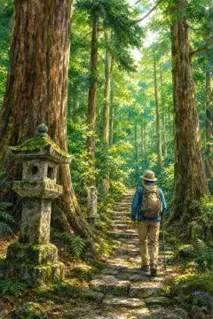
熊野古道(伊勢路)
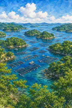
英虞湾(あごわん)の絶景
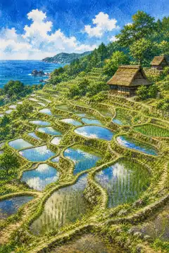
丸山千枚田

夫婦岩(二見興玉神社)

なばなの里のイルミネーション

鈴鹿サーキット

鳥羽水族館

志摩スペイン村
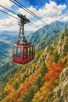
御在所ロープウエイ