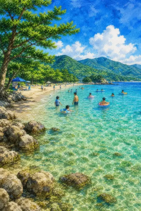
Wakasa Wada Beach
Also written: 若狭和田ビーチ · 若狭和田海滩 · 若狹和田海灘
A beach with shallow, crystal-clear waters that was the first in Asia to receive the international Blue Flag environmental certification.
An Illustrated Japan

Mizuky Workshop / An Illustrated Japan / Fukui / Townscape & Scenery / Wakasa Wada Beach
Also written: 若狭和田ビーチ · 若狭和田海滩 · 若狹和田海灘
A beach with shallow, crystal-clear waters that was the first in Asia to receive the international Blue Flag environmental certification.
An Illustrated Japan
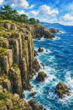
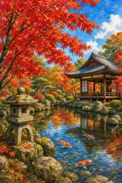
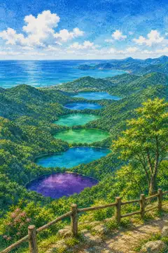
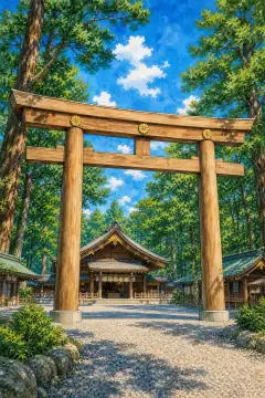
For travelers exploring Fukui, Wakasa Wada Beach provides a clear window into the regional townscape & scenery. The view changes with hour and season, but the underlying relationship between land and community remains legible. Municipal archives note registrations in early 20th-century cadasters and later reviews in the 1950s-1970s that elevated the site to a recognized scenic and cultural resource. Name origins are explained in folklore collections from the 1960s and in a 1970s investigation of historic documents. Traces of thatched roofs lost in floods, and of earthen walls repainted in successive decades, show adaptation to climate. Boundary markers, local shrine listings and townspeople's oral histories weave the place into a longer settlement story. Light rewriting is constant. One day can host multiple compositions as clouds lift, fog thins or seasonal flowers open. Summer greens, autumn tints, winter monochrome and spring haze each produce distinct depth. Observation decks built after the 1980s prioritize low-impact placement so that foreground framing remains natural. Trails connect to hamlets where boundary markers and irrigation channels reveal how water has been shared for generations. Community stewardship is visible in low-key maintenance. Volunteer groups refresh signboards, trim paths and organize clean-ups, often explaining seasonal highlights and requests to avoid private land or sensitive flora. Old photographs preserved in the local archive show how land use, vegetation and building density shifted across decades, from post-station bustle with horse carriages to quieter residential use. Former common lands reorganized during Meiji land reforms became municipal forests that still yield timber for small workshops. Craft traditions such as woodworking and lacquerware persist; younger artisans arrived during the 2000s and open weekend studios for hands-on learning. To deepen the experience, combine field observation with archival glimpses. Local museums hold turn-of-century cadastral sheets, family albums and oral histories naming tree species replanted after storms. Interpretive panels explain filtration of volcanic colloids that color water, or how specific fan-shaped street patterns responded to flood risk. Leave time for conversation with shopkeepers, who often point out lesser-known alignments of shrine, spring and footpath. Traveling with care for private land and fragile flora ensures the place remains legible for next year's visitors as well. Recent stewardship includes multilingual signage and volunteer-led clean-ups that try to keep interpretation accurate without over-explaining. Tree species, stone types and water chemistry are documented in volunteer-maintained notes that evolve as seasons shift. Local documentation mentions pottery shards from around the 1890s to 1920s recovered near the core, prompting small excavations that refined map boundaries.