Torii Gate at Nedo Shrine
Also written: 根道神社の鳥居 · 根道神社的鸟居 · 根道神社的鳥居
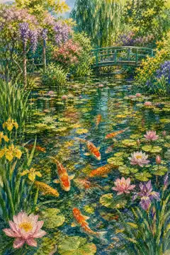
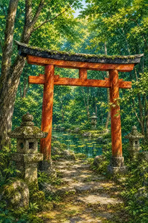
The torii gate at Nedo Shrine, located near Monet's Pond, stands in a tranquil forest and has become popular on social media as a mystical Japanese landscape.
An Illustrated Japan

Mizuky Workshop / An Illustrated Japan / Gifu / Townscape & Scenery / Torii Gate at Nedo Shrine
Also written: 根道神社の鳥居 · 根道神社的鸟居 · 根道神社的鳥居
The torii gate at Nedo Shrine, located near Monet's Pond, stands in a tranquil forest and has become popular on social media as a mystical Japanese landscape.
An Illustrated Japan
In Gifu, Torii Gate at Nedo Shrine stands as a representative townscape & scenery where natural conditions and human use have learned to coexist. Its presence gives orientation to the surrounding basin and neighborhoods. Old maps from around the turn of the twentieth century record the location with slightly different boundaries, reflecting how common land was reorganized into town forest and public space. A survey in the 1980s identified manuscripts containing early spellings of the name, linking linguistic history to topography. Material remnants like plaster walls, wooden frames and brewery tools are documented as present in the late 20th century, with donation books preserving names of supporters. Watchtowers, small chapels and water points are mentioned in stewardship notes from the 1960s to 1990s. Geology and microclimate leave legible signatures. Springs hold steady temperatures year-round and continue to support domestic and agricultural use. Caldera rims, fan-shaped urban grids on piedmonts, and terraced slopes demonstrate how constraints became design logic. Broadleaf replanting after the war shaped forests now used for seasonal foraging of wild vegetables and mushrooms, a practice maintained with quiet rules about harvest limits. The settlement preserves place names fixed in Meiji cadastral surveys, while former entry lands turned into town woodland show adaptive reuse. Tree-planting festivals organized by youth associations in the late 1950s left groves that now mark park boundaries. Craft workshops, sake breweries and miso storehouses link agricultural surplus to skilled making; some opened experience sessions on weekends after 2000. Low light pollution in surrounding hamlets supports occasional star-gazing, and spring water sources still dictate where houses cluster. For visitors, unhurried attention pays off. Check seasonal guidance at the information point, note any temporary closures after heavy rain or snow, and keep to marked paths to respect private fields and fragile plants. Dawn is good for soft layering and birdsong, midday for clear mapping of settlement patterns, dusk for silhouette and silhouette of ridges. Bring flexibility: fog may close one view and open another of closer textures. Old postcards in the local archive offer comparison points that turn a walk into dialogue with memory. Move slowly, carry out what you carry in, and leave time to notice how water, wind and community labor keep the site coherent. Tree species, stone types and water chemistry are documented in volunteer-maintained notes that evolve as seasons shift. Interpreting Torii Gate at Nedo Shrine alongside neighboring hamlets shows a regional pattern: small shrine, spring, terraced edge and community hall repeated with variations.