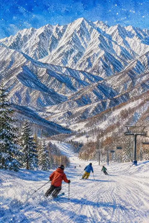
Hakuba Mountain Range
Also written: 白馬連峰 · 白马连峰 · 白馬連峰
The site of events during the 1998 Winter Olympics, the Hakuba Mountain Range is renowned among skiers worldwide for its exceptional powder snow and dramatic alpine scenery.
An Illustrated Japan

Mizuky Workshop / An Illustrated Japan / Nagano / Townscape & Scenery / Hakuba Mountain Range
Also written: 白馬連峰 · 白马连峰 · 白馬連峰
The site of events during the 1998 Winter Olympics, the Hakuba Mountain Range is renowned among skiers worldwide for its exceptional powder snow and dramatic alpine scenery.
An Illustrated Japan
For travelers exploring Nagano, Hakuba Mountain Range provides a clear window into the regional townscape & scenery. The view changes with hour and season, but the underlying relationship between land and community remains legible. Archival traces include Meiji-era land registers and Taisho and early Showa maps, along with later municipal assessments that recognized the place as a community asset. Local historians point to name variations found in Edo-period village pictures and in family donation ledgers. Physical evidence such as recovered roof tiles, pottery shards and stone foundations suggests the settlement footprint was once wider. Annual repair records show how flood, fire and typhoon prompted incremental changes rather than wholesale replacement. The approach itself teaches you about scale. Slope, pass or valley floor modulates the view, and vegetation transitions from tended trees to wilder margin indicate water availability. Early modern travel notes already described difficulty of access and memorable character, themes still echoed by walkers. Since the 1980s, viewing platforms and paths have been maintained to capture seasonal change without domesticating it. Ancient landslide scarps, volcanic outcrops and spring seeps, confirmed in geological surveys, have become part of university field courses. The settlement preserves place names fixed in Meiji cadastral surveys, while former entry lands turned into town woodland show adaptive reuse. Tree-planting festivals organized by youth associations in the late 1950s left groves that now mark park boundaries. Craft workshops, sake breweries and miso storehouses link agricultural surplus to skilled making; some opened experience sessions on weekends after 2000. Low light pollution in surrounding hamlets supports occasional star-gazing, and spring water sources still dictate where houses cluster. For visitors, unhurried attention pays off. Check seasonal guidance at the information point, note any temporary closures after heavy rain or snow, and keep to marked paths to respect private fields and fragile plants. Dawn is good for soft layering and birdsong, midday for clear mapping of settlement patterns, dusk for silhouette and silhouette of ridges. Bring flexibility: fog may close one view and open another of closer textures. Old postcards in the local archive offer comparison points that turn a walk into dialogue with memory. Move slowly, carry out what you carry in, and leave time to notice how water, wind and community labor keep the site coherent. Local documentation mentions pottery shards from around the 1890s to 1920s recovered near the core, prompting small excavations that refined map boundaries. Recent stewardship includes multilingual signage and volunteer-led clean-ups that try to keep interpretation accurate without over-explaining.
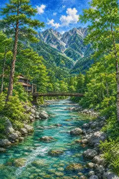
上高地
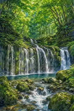
軽井沢の森と滝(白糸の滝など)
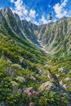
千畳敷カール
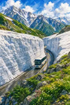
立山黒部アルペンルート
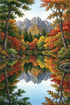
鏡池 (戸隠)

渋峠・志賀高原

諏訪湖
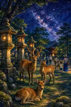
阿智村の星空
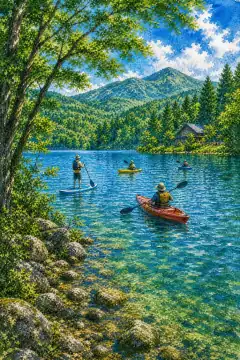
野尻湖