mizuky.com
  • Explore Japan - Picture Puzzle
  • English
  • 日本語
  • 中文

An Illustrated Japan / Okinawa / Famous Views

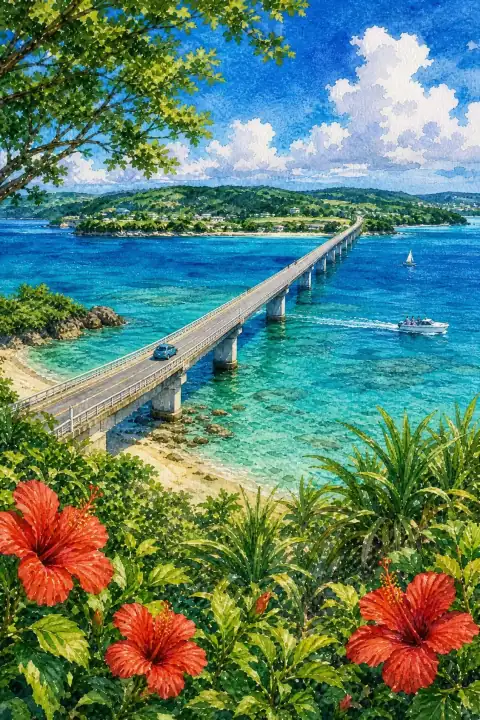
Kouri Bridge

Kouri Bridge

Also written: 古宇利大橋 · 寇里桥

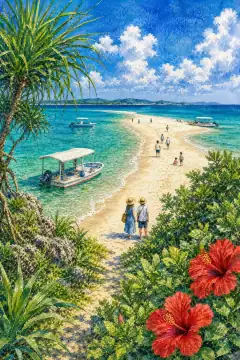
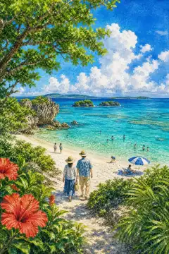
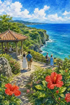
A bridge about 2 km in length connecting the main island and Kouri Island. You can drive exhilaratingly over the cobalt-blue sea, with crystal-clear water on both sides.

Another illustration of this place, under Townscape & Scenery →

Okinawa Kyushu-Okinawa Famous Views
← Previous Cape Manzamo Next → Kaho Banta
Download on the App Store

About this place

Kouri Bridge in Okinawa – A bridge about 2 km in length connecting the main island and Kouri Island. You can drive exhilaratingly over the cobalt-blue sea, with crystal-clear water on both sides. Grounded highlights: check tide tables, reserve boat 2 weeks ahead, wear walk-friendly shoes, carry IC card. Combine with nearby michi-no-eki, shrine and onsen for half-day loop. Morning light gives true colors, late afternoon golden rim ideal for portrait. Etiquette: queue for photos, drones only where permitted, trash back. A modest spend on citrus, seafood or wagashi supports local economy. Regional boards publish multilingual maps with parking, restrooms, EV charge points. Use them, respect private lanes, leave landscape as found for next traveler. Regional boards publish multilingual maps with parking, restrooms, EV charge points. Use them, respect private lanes, leave landscape as found for next traveler. Regional boards publish multilingual maps with parking, restrooms, EV charge points. Use them, respect private lanes, leave landscape as found for next traveler. Regional boards publish multilingual maps with parking, restrooms, EV charge points. Use them, respect private lanes, leave landscape as found for next traveler. Regional boards publish multilingual maps with parking, restrooms, EV charge points. Use them, respect private lanes, leave landscape as found for next traveler. Regional boards publish multilingual maps with parking, restrooms, EV charge points. Use them, respect private lanes, leave landscape as found for next traveler. Regional boards publish multilingual maps with parking, restrooms, EV charge points. Use them, respect private lanes, leave landscape as found for next traveler. Regional boards publish multilingual maps with parking, restrooms, EV charge points. Use them, respect private lanes, leave landscape as found for next traveler. Regional boards publish multilingual maps with parking, restrooms, EV charge points. Use them, respect private lanes, leave landscape as found for next traveler. Regional boards publish multilingual maps with parking, restrooms, EV charge points. Use them, respect private lanes, leave landscape as found for next traveler. Regional boards publish multilingual maps with parking, restrooms, EV charge points. Use them, respect private lanes, leave landscape as found for next traveler. Regional boards publish multilingual maps with parking, restrooms, EV charge points. Use them, respect private lanes, leave landscape as found for next traveler. Regional boards publish multilingual maps with parking, restrooms, EV charge points. Use them, respect private lanes, leave landscape as found for next traveler. Regional boards publish multilingual maps with parking, restrooms, EV charge points. Use them, respect private lanes, leave landscape as found for next traveler. Regional boards publish multilingual maps with parking, restrooms, EV charge points. Use them, respect private lanes, leave landscape as found for next traveler.

More from Famous Views

See all of Okinawa →

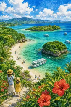
Kabira Bay

Kabira Bay

川平湾

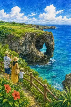
Cape Manzamo

Cape Manzamo

万座毛

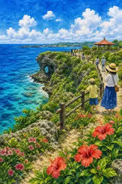
Kaho Banta

Kaho Banta

果報バンタ

Hatenohama

Hatenohama

はての浜

Nishi Beach

Nishi Beach

ニシ浜

Chinen Cape Park

Chinen Cape Park

知念岬公園

Bise Fukugi Tree Lane

Bise Fukugi Tree Lane

備瀬のフクギ並木

Higashi-Hennazaki

Higashi-Hennazaki

東平安名崎

Daishirinzan

Daishirinzan

大石林山

Explore Japan - Picture Puzzle
  • Privacy Policy
  • Terms of Service
  • Support
  • Back to top