Mizuky Workshop / An Illustrated Japan / Kyushu-Okinawa / Okinawa
Okinawa
40 illustrations · 沖縄県 · 冲绳县 · 沖繩縣
Japan's southernmost and westernmost prefecture, Okinawa comprises 691 subtropical islands stretching over 1,000 kilometers from Ioto islands to Yonaguni near Taiwan, the only prefecture with a tropical rainforest climate zone. Centered on Naha on Okinawa main island where 90 percent of 1.46 million people concentrate, it descends from the Ryukyu Kingdom unified in 1429, established as a prefecture in 1879 after the Ryukyu Disposition, and returned from a 27-year US administration in 1972, symbolized by Shuri Castle's vermilion halls and the emerald Kerama Blue seas celebrated worldwide.
An Illustrated Japan

Famous Views
The sights a prefecture is known for — the ones on the postcards, and a few that should be.
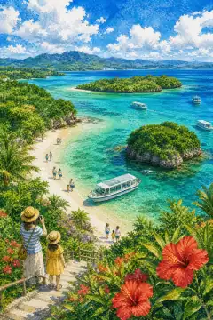
Kabira Bay
川平湾
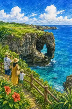
Cape Manzamo
万座毛
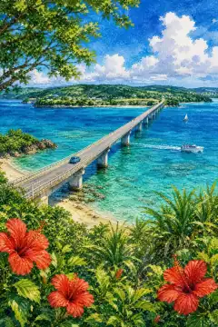
Kouri Bridge
古宇利大橋
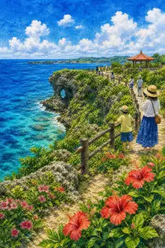
Kaho Banta
果報バンタ
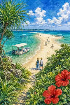
Hatenohama
はての浜
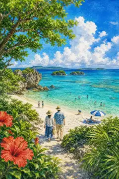
Nishi Beach
ニシ浜
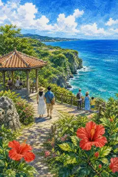
Chinen Cape Park
知念岬公園
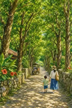
Bise Fukugi Tree Lane
備瀬のフクギ並木
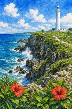
Higashi-Hennazaki
東平安名崎
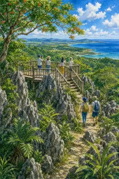
Daishirinzan
大石林山
An Illustrated Japan
Townscape & Scenery
Streets, harbours, hillsides: the places that give a prefecture its face.
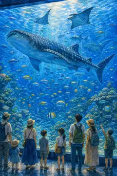
Okinawa Churaumi Aquarium
沖縄美ら海水族館
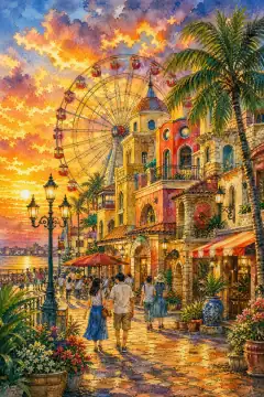
Mihama American Village
美浜タウンリゾート・アメリカンビレッジ
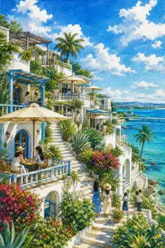
Umikaji Terrace (Senagajima)
瀬長島ウミカジテラス
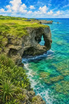
Manzamo (Manza Cape)
万座毛
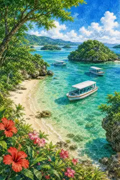
Kabira Bay (Ishigaki Island)
川平湾(石垣島)
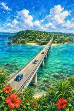
Kouri Bridge
古宇利大橋
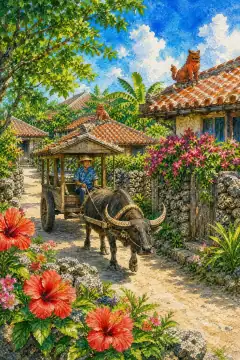
Taketomi Island Village
竹富島の集落
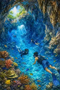
Blue Cave (Ao no Dokutsu)
青の洞窟
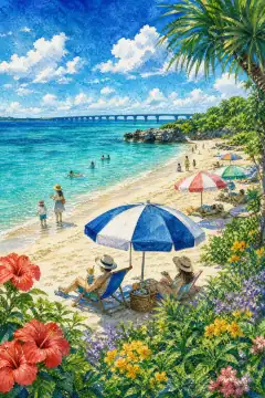
Yonaha Maehama Beach
与那覇前浜ビーチ
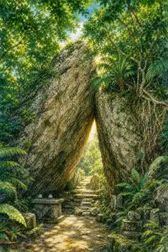
Sefa Utaki
斎場御嶽
An Illustrated Japan
Culture & Tradition
Crafts, festivals, temples and the traditions still practised today.
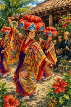
Ryukyu Dance and Traditional Performing Arts
琉球舞踊・伝統芸能
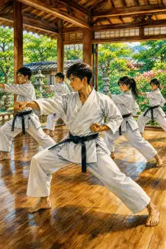
Karate
空手

Ryukyu Glass & Yachimun (Okinawan Pottery)
琉球ガラス・やちむん
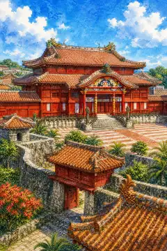
Shuri Castle and Gusuku Ruins Tour
首里城・城跡(グスク)巡り
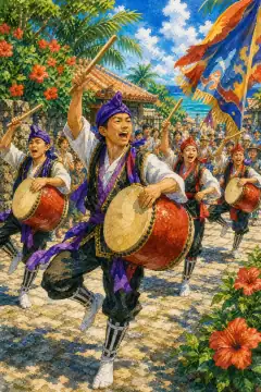
Eisa
エイサー

Sanshin (three-stringed lute)
三線
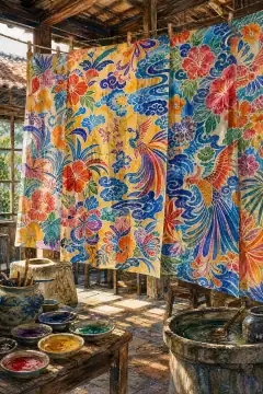
Bingata (Ryukyuan dyeing)
紅型
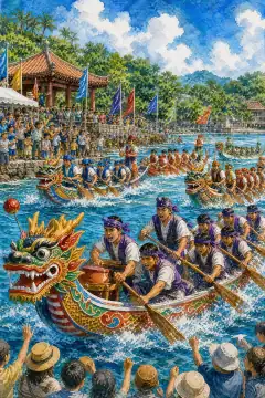
Haarii (Dragon Boat Races)
ハーリー
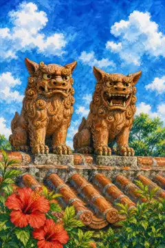
Shisa
シーサー
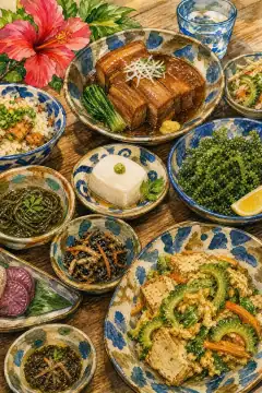
Ryukyu (Okinawan) cuisine
琉球料理
An Illustrated Japan
Life & Daily
Food, bathhouses, morning routines — what an ordinary day tastes like.
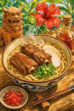
Okinawa soba
沖縄そば
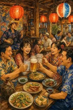
Izakaya Culture
居酒屋文化
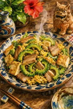
Goya Champuru (Bitter Melon Stir-Fry)
ゴーヤーチャンプルー
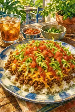
Taco Rice
タコライス
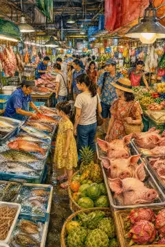
Daiichi Makishi Public Market (Makishi Public Market)
第一牧志公設市場
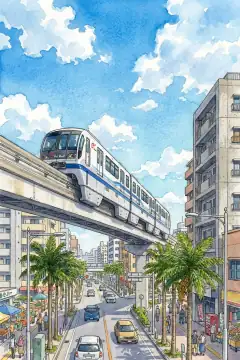
Yui Rail (Okinawa Urban Monorail)
ゆいレール
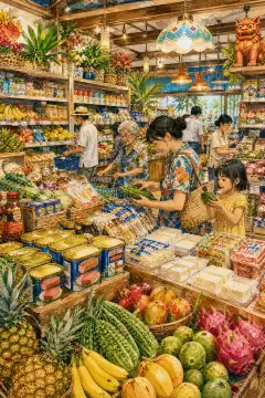
Local Supermarket Tour
ご当地スーパー巡り
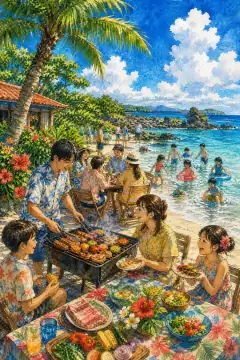
Beach Party
ビーチパーティー
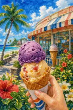
Blue Seal Ice Cream
ブルーシールアイスクリーム
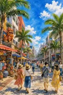
Kokusai-dori (International Avenue)
国際通り
About Okinawa
Okinawa Prefecture covers 2,282.16 square kilometers, population about 1.465 million, capital Naha City on Okinawa main island which alone is 1,206.98 square kilometers. The prefecture consists of Okinawa Islands including Kume and Kerama, Sakishima Islands including Miyako and Yaeyama with Iriomote 289 sq km, Ishigaki 222, Yonaguni, Daito Islands north and south, and disputed Senkaku Islands, stretching 1,000 km east-west and 400 km north-south, 49 inhabited and 160 islands 0.01 sq km or larger totaling 691. Highest peak Mt. Omoto 526 m Ishigaki, Mt. Yonaha 503 m main island. Historically Ryukyu Kingdom unified 1429 Sho Hashi, traded with Ming China and Southeast Asia maritime kingdom, invaded Shimazu Satsuma 1609 becoming dual vassal to China and Satsuma, became Ryukyu Domain 1872 under Kagoshima, Okinawa Prefecture formally March 1879 Ryukyu Shobun after Matsuda Michiyuki negotiating final name chosen over Ryukyu to avoid Chinese style and adopt Yamato Okinawa meaning off-sea rope. After WWII Battle Okinawa killing over 120,000 civilians quarter civilian death rate, US military administered 1945-1972, partial reversion Amami 1953 Dec 25, final reversion May 15 1972 memorial June 23 Irei no Hi war dead quiet prayer day. Climate Japan's Minami-Nippon type, subtropical Cfa main islands 28.9C July warmest and 17C January coldest, tropical Af/Am Miyako 29.0C and Yaeyama 29.5C even hotter only tropical rainforest in Japan Koeppen warm humid. Yearly average 22C, total rainfall over 2,000 mm 2,600 in Yaeyama, two peaks May Baiu and Aug-Sept typhoons, very high humidity 80 percent, extreme winter low rarely below 10C, no official snow except two sleet Kume 1977/2016 but winter cloudiness northern monsoon 1977 record southmost snowfall Japan. Typhoon Ginza stormy early Sept, Karii south wind heralding summer via Kachiibie. Economy tertiary 85 percent 2020 primary 1.2 secondary 14.5, tourism main driver after Churasan NHK drama 2001 boom depicting Okinawan family 1000m viewers visitors surging 2018 10 million, plus US base-related income remittances rent. Kadena Air Base 18,000 ha runway second largest USAF in Pacific, Futenma Airfield returning issue and Camp Hansen, Torii, White Beach occupy about 15 percent Okinawa main island hosting largest US community East Asia 50,000 personnel plus families impacting traffic American Village. Water scarcity historically 326-day rationing 1981-82 longest record now mitigated 11 dams north-south channel 1974-2014 and desalination Chatan 1997 reverse osmosis 40,000 tons daily 12 percent supply. Sightseeing highlights include Shuri Castle main hall reconstruction after 2019 fire vermillion lacquer with dragon pillars, World Heritage Gusuku ruins Nakijin, Zakimi, Katsuren, Nakagusuku, Zakimi highland view sea, Okinawa Churaumi Aquarium Ocean Expo Park whale sharks 8 meters giant manta 80m tank Kuroshio Sea, Cape Manzamo elephant trunk cliff, Kabira Bay Ishigaki emerald bay black pearl cultivation Michelin three stars snorkel, Higashi-Henna Cape Miyako Irabu Bridge 3,540 m longest toll-free bridge Japan on Miyako 2015 connecting islands, Yonaguni westernmost monument Tuiishi cape 6 km Taiwan view last sunset Japan, Kumejima tatami ishi hexagonal columnar jointing 5-6 sided Eef Beach 2 km white sand, Iriomote wildcat mangrove river cruise Uwa-rai.