Cape Kamui
Also written: 神威岬 · 卡姆伊岬 · 卡姆伊岬
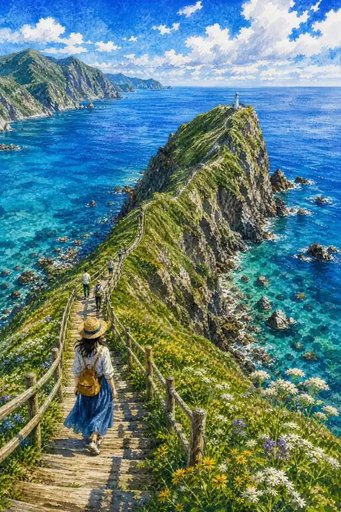
A dramatic coastal landscape where the clear blue sea, known as Shakotan Blue, meets rugged cliffs.
An Illustrated Japan

Mizuky Workshop / An Illustrated Japan / Hokkaido / Famous Views / Cape Kamui
Also written: 神威岬 · 卡姆伊岬 · 卡姆伊岬
A dramatic coastal landscape where the clear blue sea, known as Shakotan Blue, meets rugged cliffs.
An Illustrated Japan
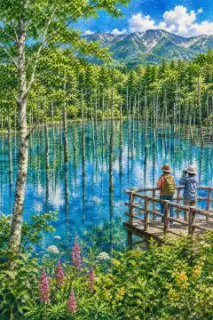
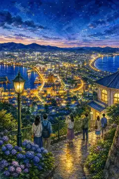
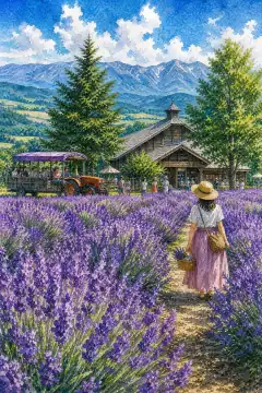
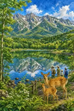
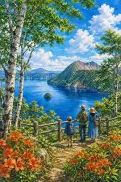
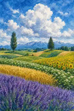
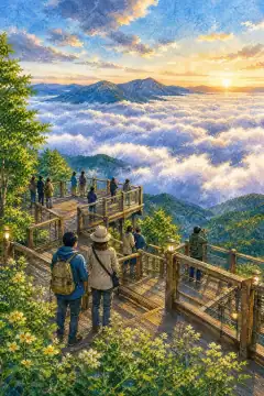
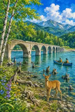
Cape Kamui in Hokkaido is a dramatic coastal cape where the sea called Shakotan Blue meets rugged cliffs, a dynamic scenic place that changes with season and weather. The name comes from Ainu kamuy, meaning deity, located at the northwestern tip of the Shakotan Peninsula; in the Edo period as a cape off-limits to women it was also called Monzen Misaki, Gate Cape. Trails and the lighthouse area were developed from the 1980s, and from 2004 Shakotan Blue began being promoted as the tourism branding for the brilliant sea. The blue-and-cliff character first captures visitors. Climate perspectives are explained locally, with strong winds and temperature drops noted. Nearby shrines and temples hold annual events. Geological surveys since the 1950s summarize volcanism and erosion on panels. Fisheries and agriculture link with tourism; direct-sales stands bustle at harvest letting travelers feel local life. Along paths seasonal flowers - narcissus spring, lavender summer, cosmos autumn - add color. For planning, checking seasonal opening hours and winter closures is reassuring. Real-time congestion and weather forecasts have been offered on official sites since 2021. Wind protection and sturdy shoes recommended on narrow ridge path. Seasonal transformation adds variety: spring brings meltwater brightness and tender greens, summer deep foliage and long daylight, autumn clear air and colored leaves, winter snow silence that emphasizes shape and sound. Light changes hourly, so early morning and late afternoon are soft and photogenic while midday emphasizes clarity and blue tones. Visitors who linger discover small details - wind movement across water, distant bird calls, texture of volcanic rock and larch bark - that become the most lasting memories. Respectful behavior, staying on paths, carrying out waste, and supporting local shops helps preserve this landscape for future generations while making travel more meaningful.