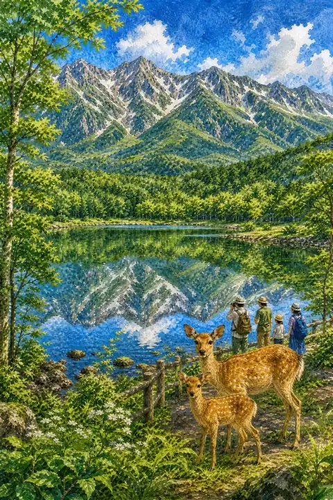
Shiretoko Goko
Also written: 知床五湖 · 知床五湖 · 知床五湖
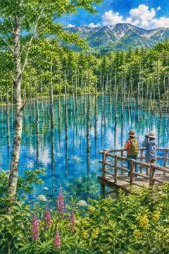
An untouched World Heritage-listed landscape; the Shiretoko Mountain Range reflected on the lake surface is breathtaking.
An Illustrated Japan

Mizuky Workshop / An Illustrated Japan / Hokkaido / Famous Views / Shiretoko Goko
Also written: 知床五湖 · 知床五湖 · 知床五湖
An untouched World Heritage-listed landscape; the Shiretoko Mountain Range reflected on the lake surface is breathtaking.
An Illustrated Japan
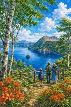
Shiretoko Goko, the Five Lakes of Shiretoko in Hokkaido, is a World Natural Heritage wilderness where five lakes reflect the Shiretoko Mountain Range with breathtaking clarity, an untouched landscape that feels profoundly pristine. The lakes were formed by a mountainside collapse from the eruption of Mt. Iozan, snowmelt pooling more than three thousand years ago into a chain of ponds. From the late 1970s forestry agencies developed trails and they came to be counted among Shiretoko Hakkei, eight scenic views. In July 2005 Shiretoko was inscribed as a World Natural Heritage site, and since May 10 2011 a regulated use system for brown bear protection requires accompanying guides and advance lectures in the designated use-adjustment area. The heritage character first strikes visitors, then subtleties emerge. Vegetation perspectives are explained on site. Rock faces show weathering traces and overlapping strata visible to the eye, valued for geo-education. Nearby shrines and temples hold yearly events letting visitors touch culture. Barrier-free sections have increased, gradients and handrails designed for wheelchairs and strollers. Geological surveys have continued since the 1950s with explanatory panels. Souvenir shops offer Hokkaido cheeses bringing memory home. To reduce impact visitors are encouraged to bring own bottles and use public transport. Bear safety, lecture attendance, and group behavior are essential ethics. Seasonal transformation adds variety: spring brings meltwater brightness and tender greens, summer deep foliage and long daylight, autumn clear air and colored leaves, winter snow silence that emphasizes shape and sound. Light changes hourly, so early morning and late afternoon are soft and photogenic while midday emphasizes clarity and blue tones. Visitors who linger discover small details - wind movement across water, distant bird calls, texture of volcanic rock and larch bark - that become the most lasting memories. Respectful behavior, staying on paths, carrying out waste, and supporting local shops helps preserve this landscape for future generations while making travel more meaningful.