Mizuky Workshop / An Illustrated Japan / Kansai / Kyoto
Kyoto
40 illustrations · 京都府
Kyoto Prefecture lies in the Kinki region with Kyoto City as its capital, the imperial capital of Japan for more than a thousand years from 794 to 1869. Stretching about 140 kilometers from north to south, it faces the Sea of Japan in the north at the Tango Peninsula and comprises basins, highlands and mountains further south. Renowned worldwide for its concentration of shrines, temples, gardens and preserved streetscapes, it also sustains traditional industries such as Uji tea, Nishijin silk weaving, Kyo-yuzen dyeing, Kiyomizu pottery and Kyo vegetables, combining cultural tourism with research and agriculture.
An Illustrated Japan

Famous Views
The sights a prefecture is known for — the ones on the postcards, and a few that should be.
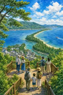
Amanohashidate
天橋立
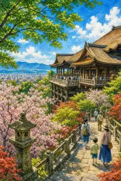
Kiyomizu-dera
清水寺
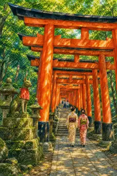
Fushimi Inari Taisha
伏見稲荷大社
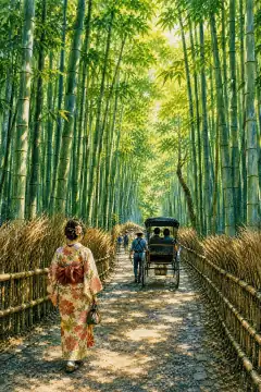
Arashiyama Bamboo Grove
嵐山 竹林の小径
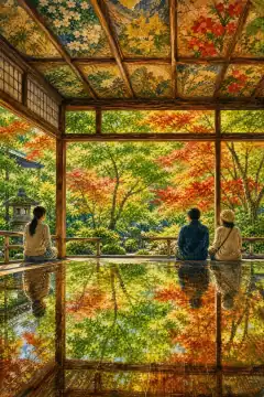
Rurikō-in
瑠璃光院
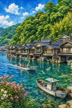
Ine no Funaya
伊根の舟屋
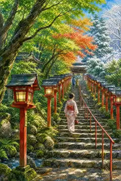
Kifune Shrine
貴船神社
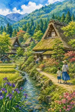
Miyama Kayabuki no Sato
美山かやぶきの里
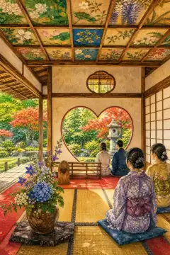
Shōjū-in
正寿院
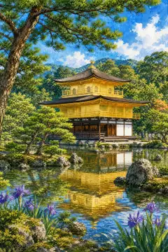
Kinkaku-ji
金閣寺
An Illustrated Japan
Townscape & Scenery
Streets, harbours, hillsides: the places that give a prefecture its face.
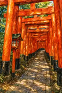
Senbon Torii (Thousand Torii Gates) at Fushimi Inari Taisha
伏見稲荷大社の千本鳥居
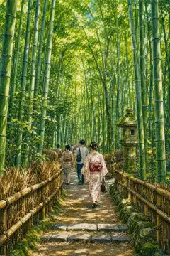
Arashiyama Bamboo Grove
嵐山の竹林の小径
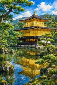
Kinkaku-ji Temple (Golden Pavilion)
金閣寺
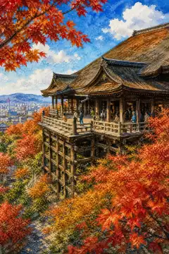
Kiyomizu-dera's wooden stage
清水寺の舞台
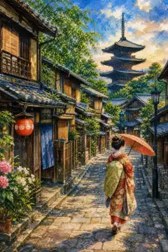
Gion's Stone-Paved Streets and Machiya
祇園の石畳と町家
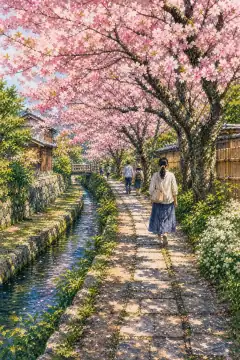
Philosopher's Path
哲学の道
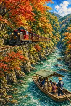
Sagano Scenic Railway and Hozu River Boat Ride
嵯峨野トロッコ列車と保津川下り
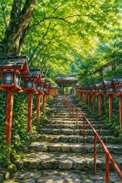
Stone Steps and Lanterns at Kifune Shrine
貴船神社の石段と灯篭
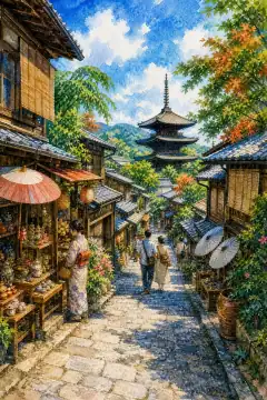
Sannen-zaka (Sannenzaka) and Ninen-zaka
産寧坂(三年坂)・二年坂
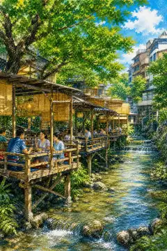
Kamo River Kawadoko (riverside summer terraces)
鴨川の納涼床
An Illustrated Japan
Culture & Tradition
Crafts, festivals, temples and the traditions still practised today.
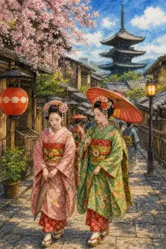
Geisha and Maiko Culture
芸者・舞妓文化
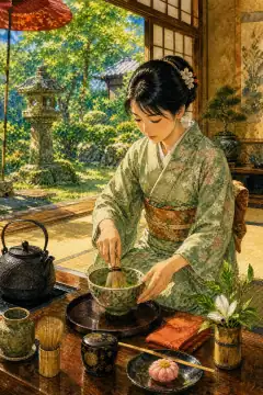
Japanese Tea Ceremony and Matcha
茶道と抹茶
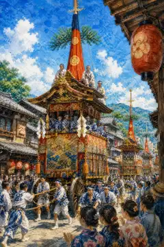
Gion Matsuri
祇園祭
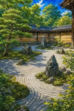
Karesansui (Zen rock) Garden
枯山水庭園
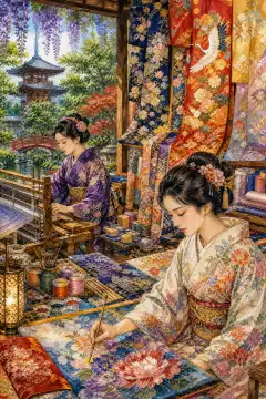
Nishijin Weaving and Kyo-Yuzen
西陣織と京友禅
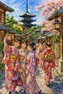
Kimono Rental Experience
着物レンタル体験
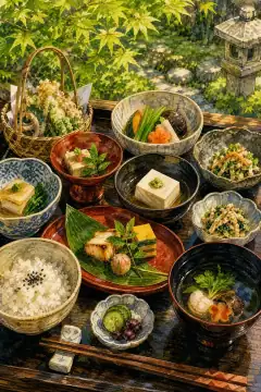
Shojin Ryori (Buddhist Vegetarian Cuisine)
精進料理
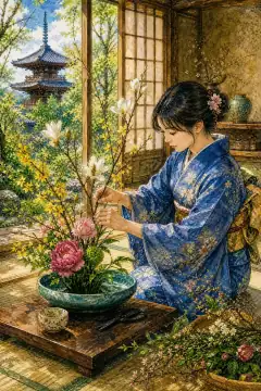
Ikebana (Kado — Japanese floral art)
華道(生け花)
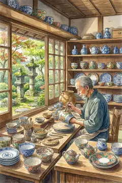
Traditional Crafts (including Kiyomizu-yaki)
伝統工芸(清水焼など)
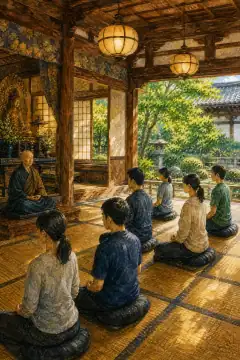
Zen Meditation Experience
禅の瞑想体験
An Illustrated Japan
Life & Daily
Food, bathhouses, morning routines — what an ordinary day tastes like.
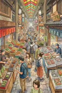
Food Stroll at Nishiki Market
錦市場での食べ歩き
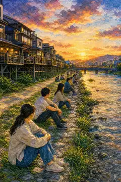
Riverside Relaxation along the Kamo River
鴨川沿いの憩い
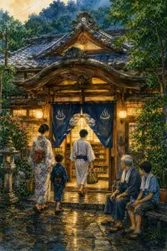
Retro Sento (Public Bath) Experience
レトロ銭湯体験
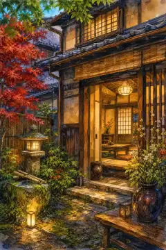
Kyoto Machiya Stay
京町家ステイ
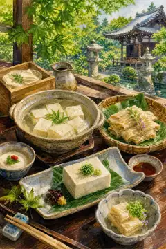
Tofu and Yuba (Tofu Skin) Cuisine
豆腐・湯葉料理
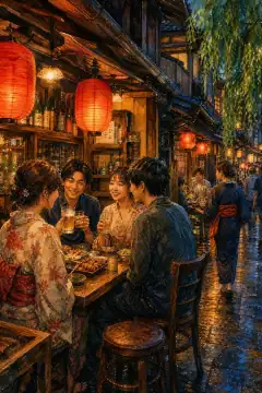
Socializing at an Izakaya
居酒屋での交流
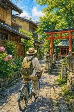
Cycling Around the City
自転車での街巡り
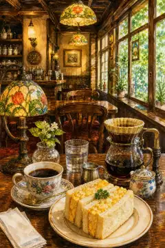
Kissaten (Traditional Japanese Coffeehouse) Culture
喫茶店文化
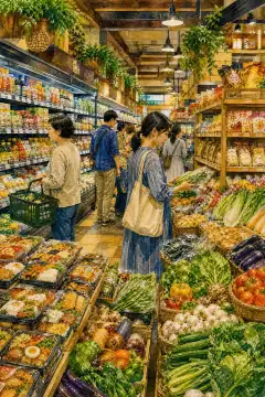
Supermarket Tour
スーパーマーケット巡り
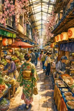
Stroll Along Local Shopping Streets
商店街散策
About Kyoto
Kyoto Prefecture lies in north-central Kinki covering 4,612.20 square kilometers ranking 31st larger than small prefectures but elongated north-south about 140 kilometers from Sea of Japan coast to Kii Peninsula approach, population about 2.58 million in 2020 census and estimated 2.51 million in late 2025 density about 543 per square kilometer. The prefectural capital Kyoto City holds 57 percent of people with about 1.46 million residents concentrated in 827 square kilometers. Geography is varied: northern Tango Peninsula on Sea of Japan with rias coast Sanin Kaigan sandy beaches Amanohashidate pine sandbar, central Tamba highland plateau around 500 to 600 meters with old forest Kitayama cedar, southern Kyoto and Yamashiro basins containing urban agglomeration and tea plantations. Forests and hills exceed 75 percent with very limited flat land 280 square kilometers. Historically comprising Yamashiro entire, most of Tamba and all Tango ancient provinces, Kyoto City was Heian-kyo capital from 794 during Kanmu Emperor until Meiji Restoration 1868, preserving street grid Heian street names still same where palace gates existed. Modern prefecture started as Kyoto Court 1868 June 9, received fu designation meaning urban prefecture in 1868 under Fuhanken Sanchisei rather than ken, merged Tango from former Toyooka Prefecture in 1876 finalizing borders with 26 municipalities. Although real political power moved to Kamakura 1192 and Edo 1603, emperors remained in Kyoto until 1869. Imperial mansions Kyoto Gosho and villa remain. Climate differs markedly north-south divided Tamba mountains: northern Maizuru and Kyotango are heavily Japan Sea marine with heavy snow 1 to 2 meters strong winter monsoon and high precipitation up to 2000 mm plus summer Sea breeze, while southern Kyoto is inland basin hot humid summer with over 35 degree days frequent heat island and cold bottom cold winter with common mist and temperature inversion below zero frequently. Industry emphasizes cultural tourism attracting 50 million visitors pre pandemic contributing service sector, but also Kyoto-Osaka-Kobe second metro GDP 500 billion USD, plus sake brewing Gekkeikan, precision instruments Rohm Nintendo Kyocera Horiba Nidec headquarters, advanced research in Keihanna Science City 25 km south focusing on ICT bio environment robotics, Uji tea cultivation 800 years accounting 90 percent matcha Japan. About 21 percent land designated natural parks including Sanin Kaigan National Park and Wakasa Wan Tango Amanohashidate Oeyama and Kyoto Tamba Kogen Hozu-kyo Kasagiyama Rurikei conservation. Major attractions include Kiyomizu-dera wooden stage UNESCO hall, Kinkaku-ji gold leaf pavilion top two floors coated, Ryoan-ji rock garden fifteen stones fourteen view mystery, Ginkaku-ji silver pavilion garden moss, Fushimi Inari thousand vermilion torii 4 km tunnel leading to Mount Inari dedication business prosperity, Byodo-in Phoenix Hall in Uji on 10 yen coin representing Pure Land Heisei era, Arashiyama bamboo forest and Togetsu-kyo Bridge 155 meters width Sagano train, Ine no Funaya boathouses garages first floor boats second floor home, plus Amanohashidate sandbar one of three scenic views of.