Mizuky Workshop / An Illustrated Japan / Tohoku / Aomori
Aomori
40 illustrations · 青森県 · 青森县 · 青森縣
Aomori is the northernmost prefecture on Honshu with 9,645.11 square kilometres ranking eighth largest and about 1.13 million people. Capital Aomori City serves as gateway to Hokkaido via Seikan Tunnel. Split by Ou Mountains into western Tsugaru with fertile plain and Mount Iwaki and eastern Nanbu with Shimokita Peninsula, it is surrounded by sea on three sides. It is Japan's leading apple producer with garlic and scallops, Hachinohe Port top for mackerel and squid, plus nuclear fuel cycle in Rokkasho. Tourist icons include UNESCO Shirakami beech forest World Heritage, Lake Towada and Oirase Gorge, Hakkoda snow monsters, Oma tuna and vibrant summer Nebuta lantern festivals.
An Illustrated Japan

Famous Views
The sights a prefecture is known for — the ones on the postcards, and a few that should be.
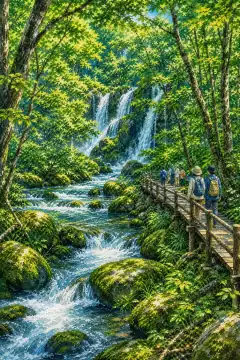
Oirase Gorge
奥入瀬渓流
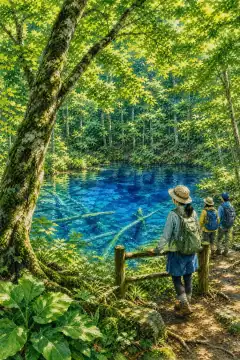
Shirakami-Sanchi
白神山地
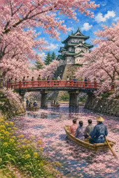
Hirosaki Park
弘前公園
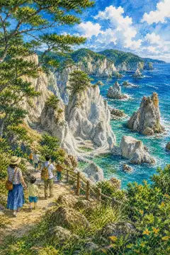
Butsu-ga-ura
仏ヶ浦
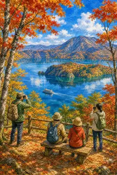
Lake Towada
十和田湖
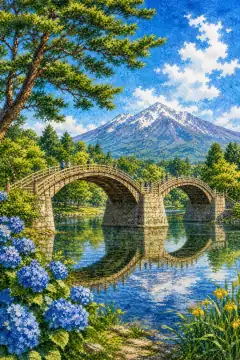
Tsuru no Mai Bridge
鶴の舞橋
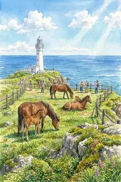
Cape Shiriya
尻屋崎
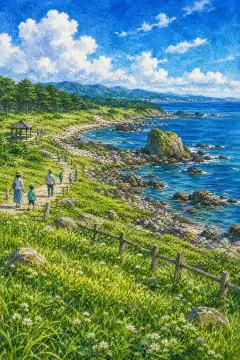
Tanesashi Coast
種差海岸
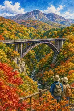
Jōgakura Bridge
城ヶ倉大橋
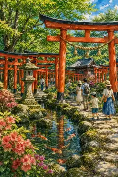
Takayama Inari Shrine
高山稲荷神社
An Illustrated Japan
Townscape & Scenery
Streets, harbours, hillsides: the places that give a prefecture its face.
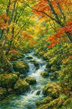
Oirase Gorge
奥入瀬渓流
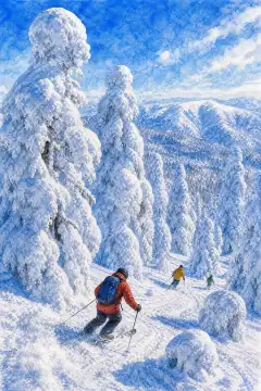
Mount Hakkōda's Snow Monsters (Juhyō)
八甲田山の樹氷
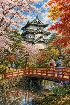
Hirosaki Park (Takayou-en)
弘前公園(鷹揚園)
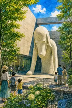
Aomori Museum of Art
青森県立美術館
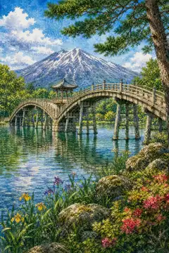
Tsuru-no-Mai Bridge
鶴の舞橋
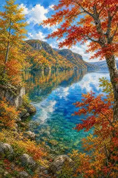
Lake Towada
十和田湖
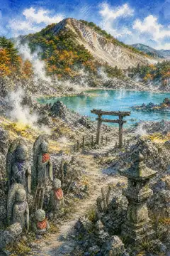
Mount Osore (Osorezan)
恐山
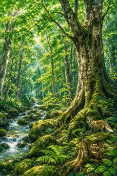
Shirakami-Sanchi
白神山地
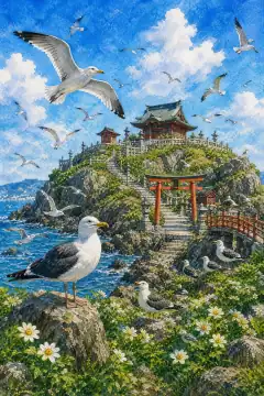
Kabushima Shrine
蕪嶋神社
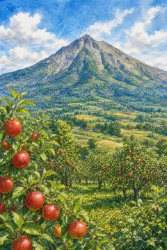
Mount Iwaki
岩木山
An Illustrated Japan
Culture & Tradition
Crafts, festivals, temples and the traditions still practised today.
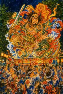
Aomori Nebuta Festival
青森ねぶた祭
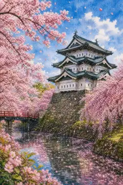
Cherry Blossoms at Hirosaki Castle
弘前城の桜
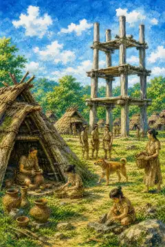
Sannai‑Maruyama Archaeological Site
三内丸山遺跡

Tsugaru Shamisen
津軽三味線
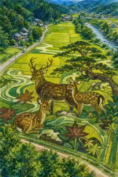
Inakadate Rice Paddy Art
田んぼアート
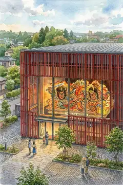
Nebuta Museum Wa Rasse
ねぶたの家 ワ・ラッセ
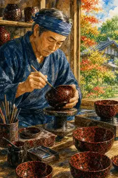
Tsugaru lacquerware (Tsugaru-nuri)
津軽塗

Kogin-zashi (Kogin embroidery)
こぎん刺し
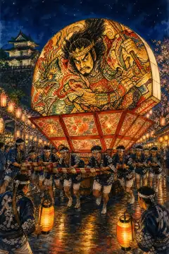
Hirosaki Neputa Festival
弘前ねぷたまつり
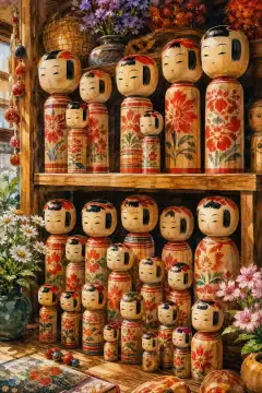
Tsugaru Kokeshi Dolls
津軽こけし
An Illustrated Japan
Life & Daily
Food, bathhouses, morning routines — what an ordinary day tastes like.
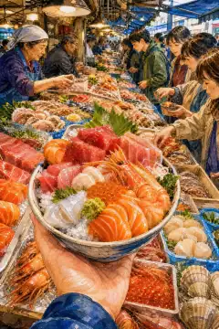
Nokke-don (Aomori Gyosai Center)
のっけ丼(青森魚菜センター)

Apple Picking & Apple Desserts
りんご狩り・りんごスイーツ

Sukayu Onsen (mixed bathing hot spring)
混浴温泉(酸ヶ湯温泉)
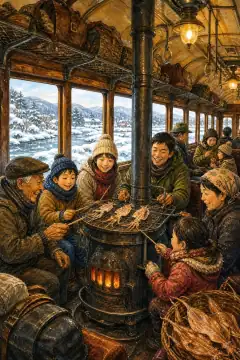
Stove Train (Tsugaru Railway)
ストーブ列車(津軽鉄道)
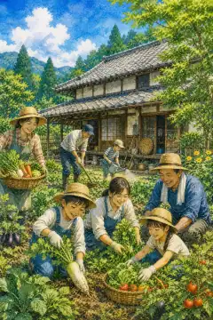
Farm Stay & Farming Experience
農泊・農作業体験
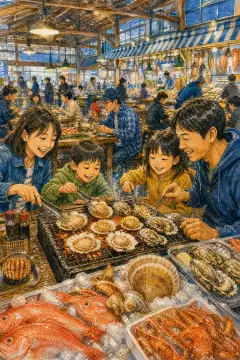
Hasshoku Center (Hachinohe)
八食センター
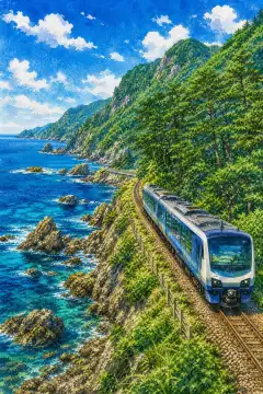
Resort Shirakami (Gonō Line)
リゾートしらかみ(五能線)
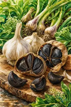
Aomori Black Garlic
青森の黒にんにく
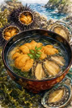
Ichigo-ni (Sea Urchin and Abalone Soup)
いちご煮
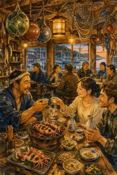
Izakaya Experience in Fishing Towns (Hachinohe and nearby)
漁師町の居酒屋体験(八戸など)
About Aomori
Aomori Prefecture covers 9,645.11 square kilometres, eighth largest in Japan, with population 1,129,640 as of July 1 2026, about 1.13 million and density 117 per square kilometre. Capital is Aomori City with about 253,000 residents, a core city and eastern terminus of the Tsugaru Peninsula. Geography places it at Honshu's tip surrounded on three sides by water: Pacific east, Sea of Japan west and Tsugaru Strait north facing Hokkaido only 23 kilometres away, linked by the Seikan Tunnel rail and ferry. Centrally the Ou Mountains run south to north dividing culturally distinct Tsugaru region in west with Tsugaru Plain developed from old lake bed and Mount Iwaki 1,624 metres called Tsugaru Fuji, and Nanbu region in east comprising Sanpachi Kamikita districts and Shimokita Peninsula shaped like an axe with Mount Osorezan and Cape Oma at Honshu's northernmost settlement after rebuilding suburbs of villages causing municipal upheaval begun merging settlements about trying level about Honshu patience. Lakes include Towada caldera lake 327 metres deep shared with Akita, Ogawara brackish lagoon and Jusan lagoon. History derives from northern Mutsu Province. Under Edo, central governance after Nanbu clan shifted to Tsugaru clan to Hirosaki 470,000 koku. In 1871 haihan-chiken created Hirosaki Prefecture and in September its office moved from Hirosaki to Aomori town, renamed Aomori Prefecture to avoid old castle town rivalry. In 1876 Ninohe District was transferred to Iwate fixing today's borders. Climate is entirely heavy snowfall zone, Aomori City being the only prefectural capital wholly under special heavy snow zone with about 7 metres annual snowfall, 669 centimetres observed long-term, July mean 23.5 Celsius. West of Ou range is Sea-of-Japan climate with abundant snow and short sunshine in winter, east is Pacific climate with cool yamase east wind bringing fog in summer limiting rice, relatively sunny winters, inland continental. Common winter lows below minus 10 Celsius. Industry is major agriculture with calorie-based food self-sufficiency 118 percent, top in apple blossom is prefectural flower covering 50 percent of Japan, nagaimo Chinese yam, garlic and burdock, Hachinohe Port is Japan's top for mackerel and squid, scallops in Mutsu Bay known for Hira fortune cultivation, Toshihiro Hokkai dialect influences livestock apple-fed beef. Hachinohe coastal industrial zone hosts thermal power, paper and shipbuilding. Around Rokkasho and Mutsu-Ogawara are nuclear fuel cycle reprocessing plant awaiting final checks, nuclear fusion experimental, ITER-related and wind farms among Japan's largest with 100 windmills. Tourism centres on Shirakami-Sanchi World Natural Heritage shared with Akita famous for primeval beech, Towada-Hachimantai National Park, Oirase Gorge 14 kilometres with waterfalls, Hakkoda Mountains with snow monsters juhyo, Osorezan caldera lake and Hotokegaura white cliffs on Shimokita, Cape Oma renowned for tuna, Hirosaki Castle with 2,600 cherry trees in park hosting sakura matsuri, and summer festivals Aomori Nebuta with huge illuminated warrior floats, Hirosaki Neputa fan shaped, Goshogawara Tachineputa 23 metres tall, and Hachinohe Sansha Taisai as Important Intangible Folk Cultural Property, plus Sannai-Maruyama Jomon site with 5,500-year-old ruins.