Mizuky Workshop / An Illustrated Japan / Kanto / Chiba
Chiba
40 illustrations · 千葉県 · 千叶县 · 千葉縣
Chiba Prefecture lies in southeastern Kanto, its capital Chiba City. Covering about 5,156 square kilometers and home to roughly 6.28 million people, the sixth-largest prefecture by population, it forms the Boso Peninsula jutting into the Pacific, bordered by sea on three sides and largely flat with hills. Japan’s top peanut producer and a major fishery and soy-sauce brewing prefecture, it hosts the Keiyo Industrial Zone and Narita International Airport, balancing heavy industry and global gateway functions with leisure anchors such as Tokyo Disneyland and historic Narita-san.
An Illustrated Japan

Famous Views
The sights a prefecture is known for — the ones on the postcards, and a few that should be.
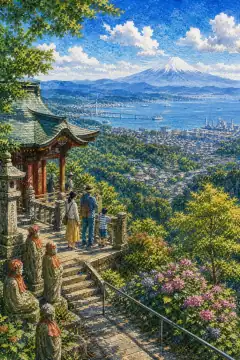
Kagi-yama / Nihon-ji
鍵山・日本寺
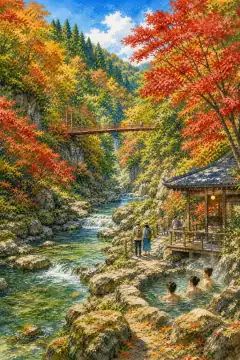
Yoro Keikoku
養老渓谷
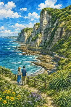
Byobu-ga-ura
屏風ヶ浦
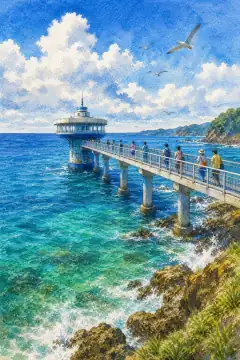
Katsuura Underwater Park
かつうら海中公園
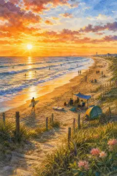
Kujukuri Beach
九十九里浜
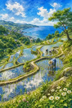
Oyama Senmaida
大山千枚田
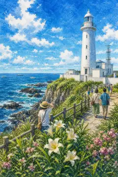
Inubosaki Lighthouse
犬吠埼灯台
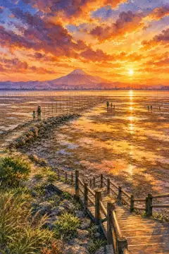
Jezu-zaki Coast
済州崎海岸
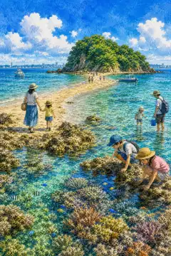
Okino Island
沖ノ島
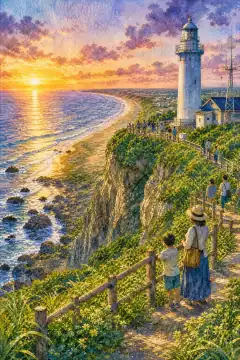
Ioka Gyobu-misaki
飯岡刑部岬
An Illustrated Japan
Townscape & Scenery
Streets, harbours, hillsides: the places that give a prefecture its face.
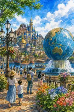
Tokyo Disney Resort
東京ディズニーリゾート
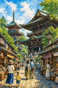
Naritasan Shinshoji Temple
成田山新勝寺
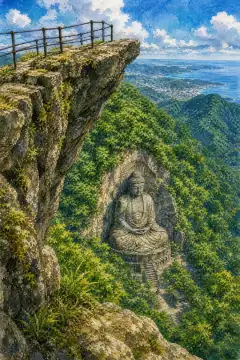
Mount Nokogiri (Jigoku-nozoki "Hell's Lookout")
鋸山(地獄のぞき)
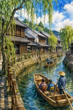
Sawara Historic District
佐原の町並み
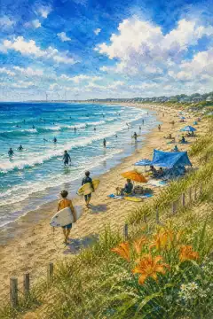
Kujukuri Beach
九十九里浜
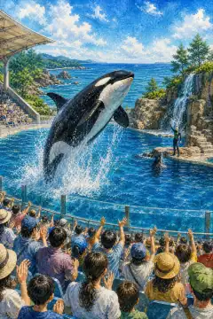
Kamogawa Sea World
鴨川シーワールド
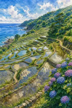
Oyama Senmaida Rice Terraces
大山千枚田
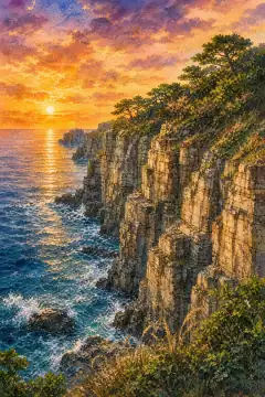
Byobugaura Cliffs
屏風ケ浦
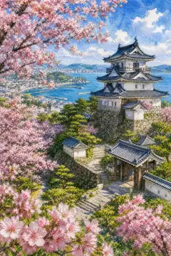
Tateyama Castle and Shiroyama Park
館山城と城山公園
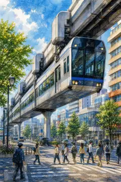
Chiba Urban Monorail
千葉都市モノレール
An Illustrated Japan
Culture & Tradition
Crafts, festivals, temples and the traditions still practised today.
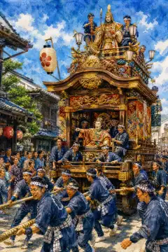
Narita Gion Festival
成田祇園祭
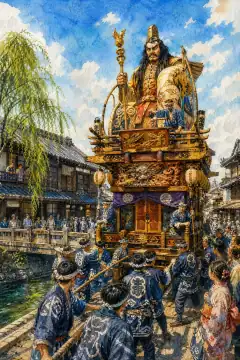
Sawara Grand Festival
佐原の大祭

Bōshū Uchiwa
房州うちわ
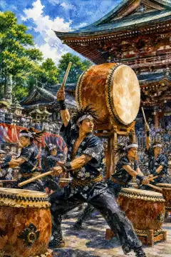
Narita Taiko Festival
成田太鼓祭
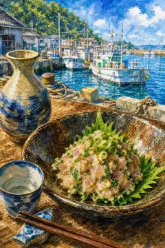
Namero (Boso-style minced fish with miso)
なめろう
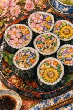
Futomaki Festival Sushi
太巻き祭り寿司
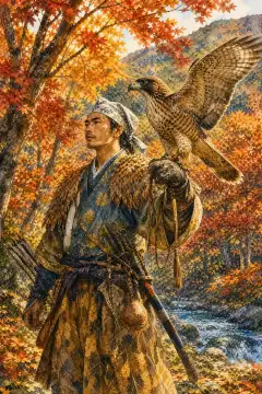
Traditional Falconry
鷹狩り文化

Kimono and Tea Ceremony Experiences
着物・茶道体験

Pottery and Farming Experiences
陶芸・農業体験
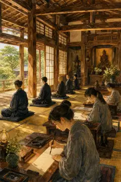
Zazen and Sutra Copying at Shrines and Temples
神社仏閣での座禅・写経
An Illustrated Japan
Life & Daily
Food, bathhouses, morning routines — what an ordinary day tastes like.
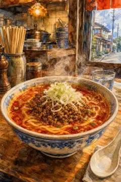
Katsuura Tantanmen
勝浦タンタンメン
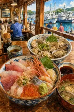
Seafood Rice Bowl / Clam Rice Bowl
海鮮丼・あさり丼
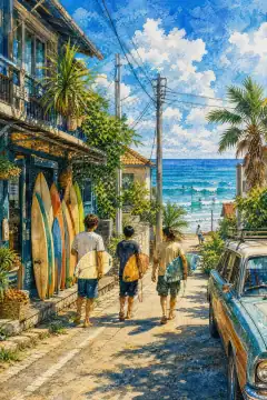
Surfing Culture on the Boso Peninsula
房総半島のサーフィン文化

Peanut Culture
ピーナッツ(落花生)文化
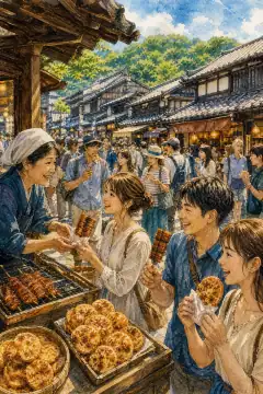
Street Food Stroll in Historic Shopping Streets
商店街での食べ歩き
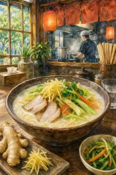
Gaura Ramen
ガウラーメン
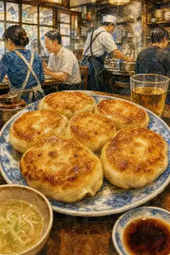
White Gyoza
ホワイト餃子
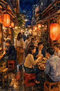
Izakaya & Bar Hopping
居酒屋・バーホッピング
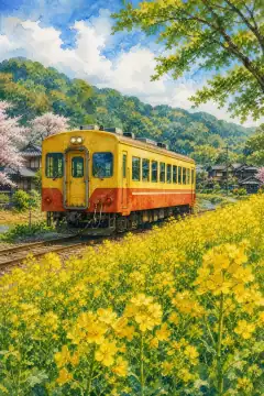
Local Train Journeys
ローカル線の旅
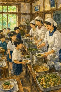
Rural School Life Experience
農村での学校生活体験
About Chiba
Chiba Prefecture occupies the southeast of Kanto, east of Tokyo, with an area of 5,156.48 square kilometers ranking 28th and a population of about 6,280,000 ranking sixth nationwide. Its capital is Chiba City, an ordinance-designated city of about one million. Geographically the prefecture covers most of the Boso Peninsula plus Shimosa Plateau; it is unique in Japan for having no land above 500 meters, its highest point being Mt. Atago at 408.2 meters in Minamiboso, the lowest high point among prefectures, and average elevation of only 46 meters. North is Kanto Plain lowland with Shimosa and Kazusa terraces and lowland along the Tone and Edo Rivers, south is Boso Hills with rolling forest. Three sides face the Pacific and Tokyo Bay, giving long coastlines including the 66-kilometer Kujukuri Beach strand on the outer Pacific and inner bay tidal flats such as Sanbanze. Historically the area comprised Kazusa, Awa and part of Shimosa provinces, documented since the Man’yoshu poems of Nara times. Early Meiji created Inba and Kisarazu prefectures merging on June 15, 1873 at Chiba Castle town, hence June 15 prefectural day, later incorporating Katori, Kaijo and Sosa counties from dissolved Shinj prefecture in 1875 to form present boundaries. Climate is humid subtropical Cfa with strong oceanic moderation: winters are mild with few frost days along the coast due to the Kuroshio Current, summers are cooler than Tokyo, especially Katsuura where extreme highs above 35C have never been recorded. Northern inland Sakura and Narita feel Tsukuba-oroshi north winds and see lows to -8C, while bay areas experience heat-island warming with tropical nights. Precipitation is high in September-October from typhoons. Industry benefits from huge flat buildable land and sea access. Agriculture output ranks fourth nationwide with peanuts first in Japan, over 80 percent of national share, plus leeks, daikon, carrots and pears. Soy sauce from Noda and Choshi has national fame. Fish catches center on Choshi Port among Japan’s top three, with sardine and mackerel. Iodine extracted from accompanying gas of Minami Kanto field in Mobara produces about a quarter of world iodine. The Tokyo Bay coastal belt from Urayasu to Futtsu forms the Keiyo Industrial Complex with crude oil refineries, petrochemistry, steel in Kimitsu and LNG terminals. Inland Inzai is nicknamed Data Center Ginza for hyperscale farms. Narita Airport handles Japan’s largest international cargo. Tourism includes Shinsho-ji Temple in Narita founded in 940, frequented by 10 million for Hatsumode, Tokyo Disney Resort in Urayasu, Cape Inubo as Kanto’s easternmost point, Kujukuri surf beach, Nokogiri-yama giant Buddha, Chiba Section GSSP stratum giving the name Chibanian, and Kamogawa Sea World marine shows.