Mizuky Workshop / An Illustrated Japan / Kanto / Tokyo
Tokyo
40 illustrations · 東京都 · 东京 · 東京
Tokyo Metropolis, covering about 2,200 km2 with 14.3 million residents, is Japan's de facto capital and anchor of Kanto region. Extending from Tokyo Bay lowlands to the western Kanto Mountains led by Mt. Kumotori at 2,017 meters and far south to the Izu and Ogasawara Islands including Japan's southernmost and easternmost points, it holds the national parliament, imperial palace, stock exchange, and top universities. High-rise districts in Marunouchi, Shinjuku, and Shibuya coexist with historic shrines and vast gardens, creating a dense, highly livable world metropolis.
An Illustrated Japan

Famous Views
The sights a prefecture is known for — the ones on the postcards, and a few that should be.
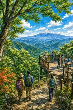
Mt. Takao
高尾山
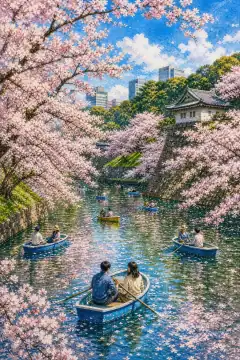
Chidorigafuchi Moat
千鳥ヶ淵
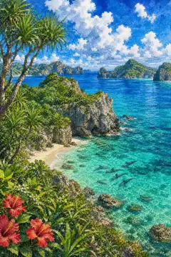
Ogasawara Islands
小笠原諸島
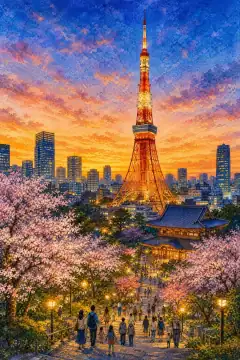
Tokyo Tower
東京タワー
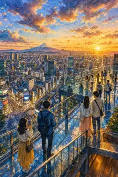
Shibuya Sky
渋谷スカイ
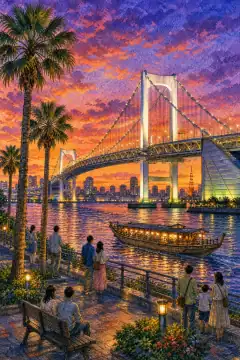
Odaiba Rainbow Bridge
お台場レインボーブリッジ
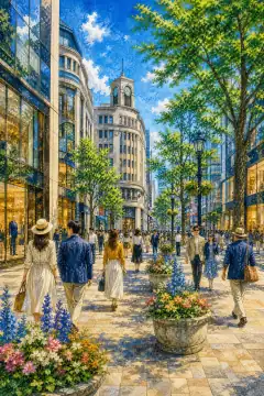
Ginza Central Street
銀座中央通り
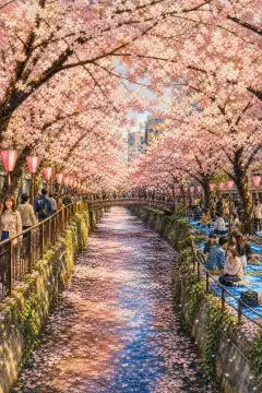
Cherry trees along the Meguro River
目黒川の桜並木
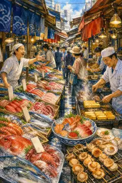
Tsukiji Outer Market
築地場外市場
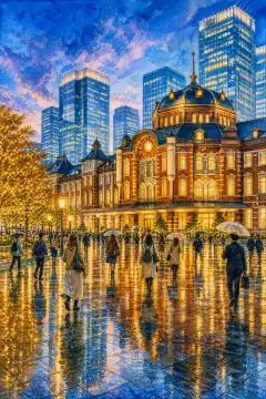
Tokyo Station Marunouchi Building
東京駅丸の内駅舎
An Illustrated Japan
Townscape & Scenery
Streets, harbours, hillsides: the places that give a prefecture its face.
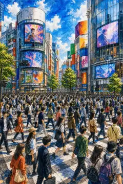
Shibuya Scramble Crossing
渋谷スクランブル交差点
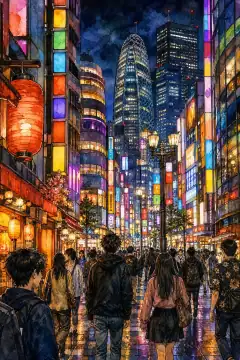
Shinjuku Neon District and Kabukicho
新宿のネオン街と歌舞伎町
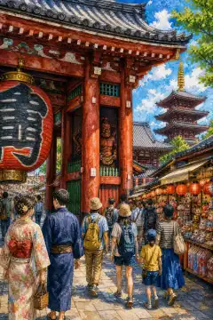
Sensō-ji Temple and Kaminarimon (Thunder Gate)
浅草寺と雷門

Tokyo Tower and Tokyo Skytree
東京タワーと東京スカイツリー
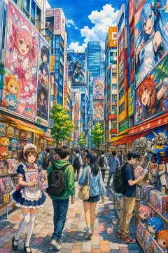
Akihabara Electric Town
秋葉原の電気街
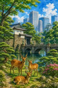
Imperial Palace and East Gardens
皇居と東御苑
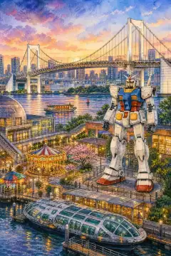
Odaiba and the Rainbow Bridge
お台場とレインボーブリッジ
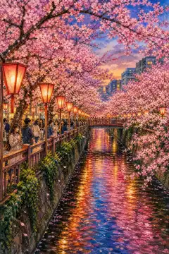
Meguro River Cherry Blossoms
目黒川の桜並木
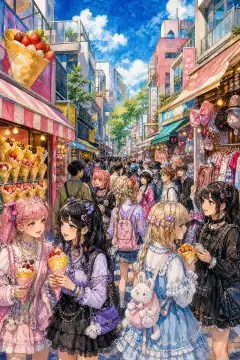
Takeshita Street (Harajuku)
原宿・竹下通り
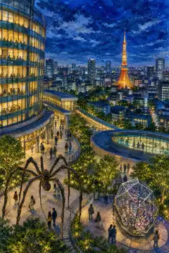
Roppongi Hills and the Mori Art Museum
六本木ヒルズと森美術館
An Illustrated Japan
Culture & Tradition
Crafts, festivals, temples and the traditions still practised today.
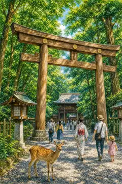
Meiji Shrine and Shinto Culture
明治神宮と神道文化
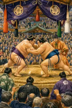
Sumo at Ryogoku Kokugikan
相撲(両国国技館)

Edo Kiriko
江戸切子
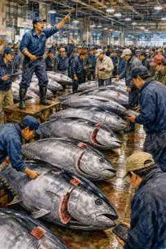
Tuna Auctions at Tsukiji and Toyosu Markets
築地・豊洲のマグロの競り
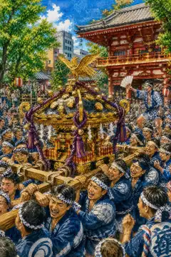
Kanda Festival and Sanja Festival
神田祭・三社祭
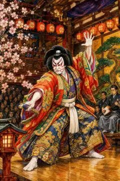
Kabuki (Kabuki-za Theatre)
歌舞伎(歌舞伎座)
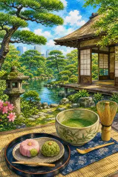
Tea Ceremony and Japanese Gardens (e.g., Hama-rikyu Gardens)
茶道と日本庭園(浜離宮恩賜庭園など)
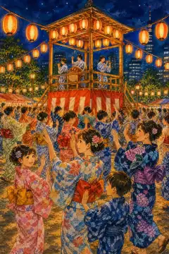
Bon Odori and Summer Festivals
盆踊りと夏祭り
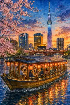
Yakatabune (traditional Japanese houseboat)
屋形船
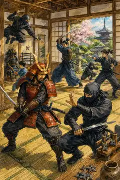
Samurai and Ninja Experience
侍・忍者体験
An Illustrated Japan
Life & Daily
Food, bathhouses, morning routines — what an ordinary day tastes like.
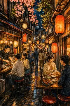
Izakaya and Alleyway Culture (Omoide Yokocho & Golden Gai)
居酒屋と横丁文化(思い出横丁・ゴールデン街)
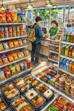
Convenience Store (Konbini)
コンビニエンスストア
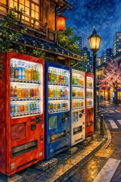
Vending machines
自動販売機
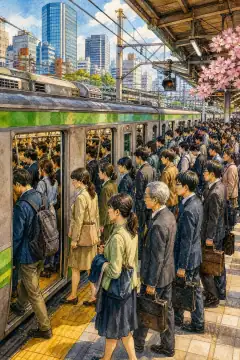
Packed Commuter Trains and Orderly Boarding
満員電車と整列乗車
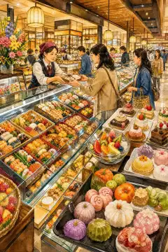
Depachika (department store basement food halls)
デパ地下(百貨店の地下食料品売り場)

Capsule Hotel
カプセルホテル
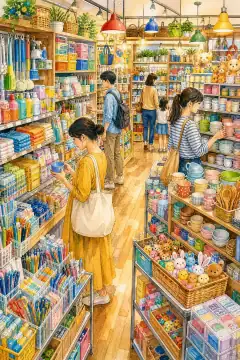
100-Yen Shop (100-Yen Store)
100円ショップ(百均)
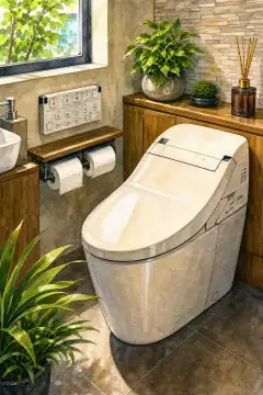
Heated Bidet Toilet Seats (High-Tech Toilets)
温水洗浄便座(ハイテク・トイレ)

Maid Cafés and Concept Cafés
メイドカフェとコンセプトカフェ
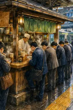
Standing Soba and Udon
立ち食いそば・うどん
About Tokyo
Tokyo covers 2,199.94 km2, 45th in size but first in population at 14,301,986 as of July 2026 with density 6,501 per km2 and capital functions exercised from Shinjuku Ward, usually labeled simply as Tokyo. Its domain has three belts: the 23 special wards built on Tokyo Lowland and Musashino Terrace along Sumida, Ara, and Tama rivers plus reclaimed waterfront; the Tama region of 26 cities and one village in Nishitama rising into the Kanto Mountains with Mt. Kumotori 2,017 m; and the island subprefectures of Izu and Ogasawara that include active volcanoes like Miyakejima and Chichijima's World Natural Heritage forests, stretching 1,700 km north-south. Historically it is Musashi Province, grown as Edo after Tokugawa Ieyasu established the Edo shogunate in 1603, renamed Tokyo in 1868 after the Meiji Restoration and the transfer of Emperor Meiji from Kyoto, designated Tokyo Prefecture in 1878, then merged as Tokyo City and Prefecture into Tokyo Metropolis in 1943 to streamline wartime governance; in 1947 the 35 former wards reorganized into 23 special wards with quasi-city status under Tokyo Metropolitan Government. Climate is predominantly humid subtropical Cfa except Ogasawara's tropical monsoon Am and savanna Aw; central Chiyoda averages 5.4°C in January and 26.9°C in August with annual rainfall near 1,550 mm, 4.8 days above 35°C and 17.8 tropical nights above 25°C minimum, while western Fuchu and Hachioji average -0.7°C and -1.8°C lows in January and can exceed 40°C in summer as observed in Ome 40.8°C in July 2018; Izu islands average 7.5-10.1°C January and 26°C August, Chichijima 18.1°C February warmest. Industry is overwhelmingly tertiary: finance in Marunouchi and Nihonbashi, corporate headquarters, IT startups and venture capital in Shibuya, media publishing, education and research with University of Tokyo and Waseda, government ministries, air and rail hub handling Haneda and Narita airports, GDP ¥120.22 trillion in 2022 about US$914 billion, largest city economy globally; manufacturing remains in Keihin waterfront printing due to concentration of newspapers and machinery, plus animation and game studios. Culture and tourism icons include Tokyo Skytree 634 m tallest tower, Senso-ji Temple and Nakamise arcade founded 628, Shibuya Scramble Crossing with 3,000 people per green light, Imperial Palace and National Diet Building, Meiji Shrine forest, Shinjuku Gyoen 58 hectares, Ginza shopping, Odaiba artificial island, and distant Ogasawara beaches where humpback whales migrate, embodying both hyper-modern and deeply historic Japan. Nightlife in Shinjuku Kabukicho and Ginza department stores plus transit network of JR Yamanote Loop, metro thirteen lines, and Haneda international airport handling 85 million passengers yearly support the metropolis.