Mizuky Workshop / An Illustrated Japan / Kanto / Saitama
Saitama
40 illustrations · 埼玉県 · 埼玉县 · 埼玉縣
Saitama Prefecture sits in central Kanto, an inland prefecture with Saitama City as its capital. It spans about 3,798 square kilometers and holds about 7.29 million people, ranking fifth in Japan and the largest among landlocked prefectures. Mostly Kanto Plain lowland and terraces, its west rises into the Chichibu Mountains. Once Musashi Province farmland feeding Edo, it is now Tokyo’s major bedtown network linked by dense rail lines, combining suburban housing, logistics, precision and automotive parts, plus suburban farming of leeks and spinach, with heritage in Kawagoe and nature in Nagatoro.
An Illustrated Japan

Famous Views
The sights a prefecture is known for — the ones on the postcards, and a few that should be.
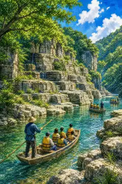
Nagai Gorge
長瀐渓谷
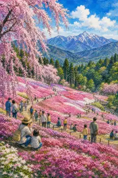
Hitsujiyama Park
羊山公園
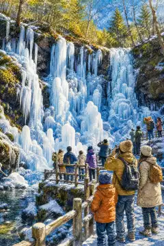
Sanjutsu no Hyochu
三十槌の氷柱
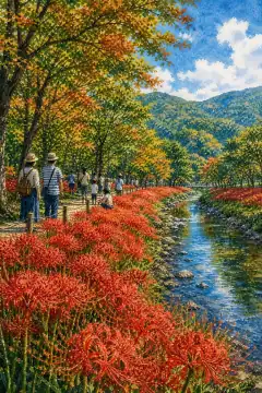
Kinchakuda
巾着田
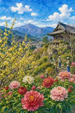
Hodosan
宝登山
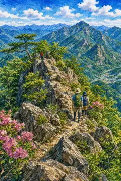
Iwahata-yama
岩畑山
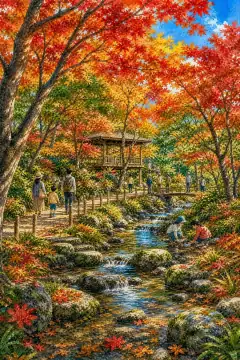
Naguri-en
名栗園
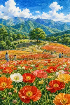
Tenkuu no Poppy Batake
天空のポピー畑
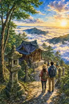
Bukosan Ontake Jinja
武甲山御嶽神社
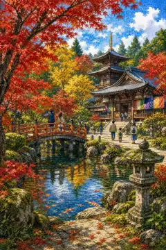
Heirin-ji
平林寺
An Illustrated Japan
Townscape & Scenery
Streets, harbours, hillsides: the places that give a prefecture its face.
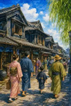
Kawagoe Kurazukuri Warehouse District
川越の蔵造りの町並み
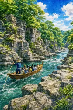
Nagatoro Iwadatami Rock Formations and Riverboat Cruises
長瀞の岩畳とライン下り
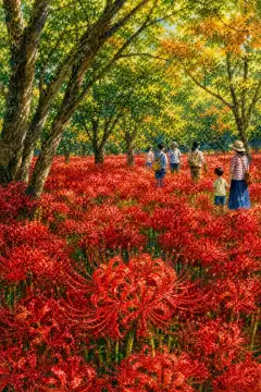
Kinchakuda Red Spider Lily Fields
巾着田の曼珠沙華
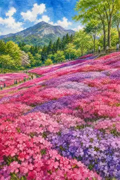
Shibazakura (Moss Phlox) at Hitsujiyama Park
羊山公園の芝桜
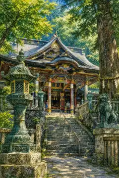
Mitsumine Shrine
三峯神社

Totoro Forest
トトロの森
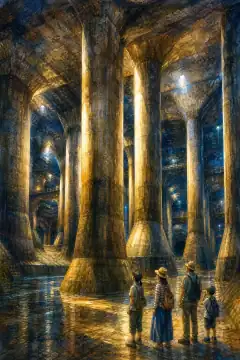
Metropolitan Area Outer Underground Discharge Channel (G-Cans)
首都圏外郭放水路
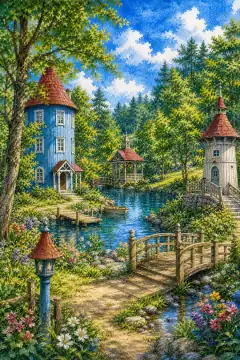
Moomin Valley Park
ムーミンバレーパーク
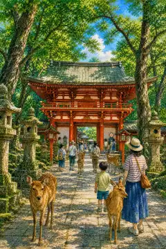
Omiya Hikawa Shrine
氷川神社
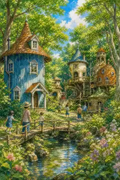
Akebono Children's Forest Park
あけぼの子どもの森公園
An Illustrated Japan
Culture & Tradition
Crafts, festivals, temples and the traditions still practised today.
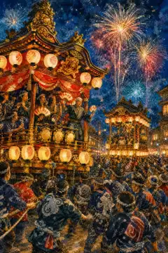
Chichibu Night Festival
秩父夜祭
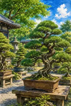
Bonsai
盆栽

Washi Paper-Making
和紙作り
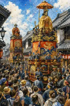
Kawagoe Festival
川越まつり
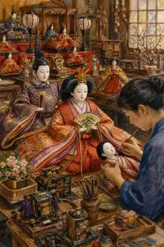
Iwatsuki Dolls
岩槻の人形
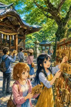
Anime Tourism
アニメツーリズム
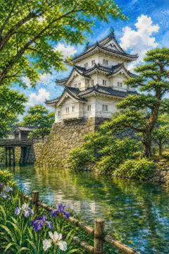
Oshi Castle
忍城
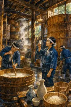
Sake Brewing in Saitama
埼玉の酒造り
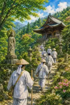
Chichibu 34 Kannon Pilgrimage
秩父三十四観音霊場
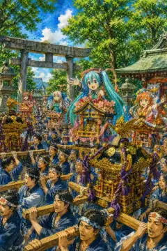
Haji Festival at Washinomiya Shrine
鷲宮神社の土師祭
An Illustrated Japan
Life & Daily
Food, bathhouses, morning routines — what an ordinary day tastes like.
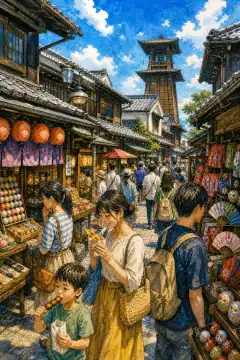
Shopping Street Stroll
商店街散策
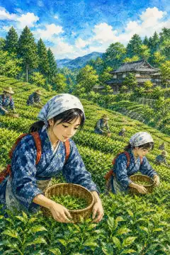
Sayama Tea Experience
狭山茶体験
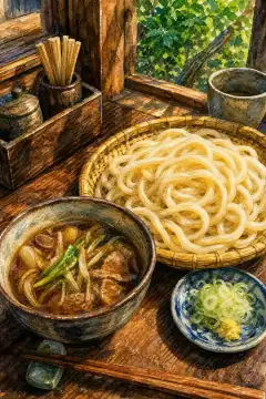
Saitama Udon
埼玉のうどん
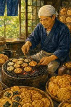
Soka Senbei (Soka Rice Crackers)
草加せんべい
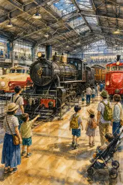
Railway Culture (The Railway Museum, Saitama)
鉄道文化
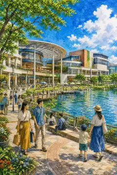
AEON LakeTown
イオンレイクタウン
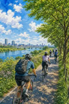
Cycling Culture
サイクリング文化
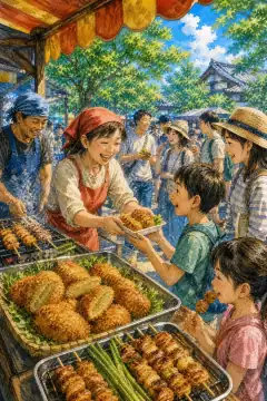
Saitama's B-class Gourmet
埼玉のB級グルメ
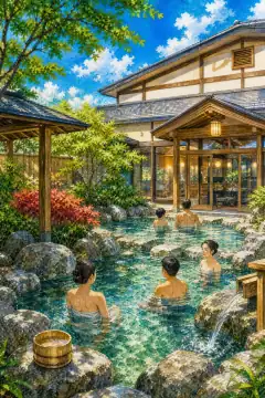
Super Sento (large public bathhouse)
スーパー銭湯
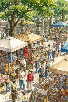
Weekend Flea Markets
週末のフリーマーケット
About Saitama
Saitama Prefecture is located in the middle of Kanto, bordering seven prefectures from Ibaraki to Yamanashi, with an area of 3,797.75 square kilometers, 39th but with the second-highest ratio of habitable land in Japan, and a population of about 7,291,000, fifth nationwide and largest of Japan’s eight landlocked prefectures. Its capital Saitama City, created in 2001 by merging Urawa, Omiya and Yono, is Japan’s only ordinance-designated city that is landlocked, with about 1.35 million residents; Omiya Station is a national Shinkansen junction for Tohoku, Joetsu and Hokuriku lines and hosts the Railway Museum. Geographically, most of the prefecture is Kanto Plain lowlands and diluvial terraces including Omiya, Musashino and Iruma terraces, with the Edogawa, Arakawa and Tonegawa rivers and the highest river-area ratio at about 3.9 percent nationwide, including the Metropolitan Area Outer Underground Discharge Channel flood system. Westward, the Hachioji tectonic line separates the plain from the Chichibu Basin and Kanto Mountains, with peaks like Mt. Sanpo at 2,483 meters, Mt. Kobushi and Mt. Kumotori marking the divide between Pacific and Sea-of-Japan watersheds and forming Chichibu-Tama-Kai National Park. Historically the region is northern Musashi Province; the name Saitama derives from Sakita-ma County noted in ancient tumuli such as Sakitama Kofun Park in Gyoda, where the Inariyama iron sword inscription was found. Early Meiji saw Omiya then Urawa prefectures merge into early Saitama, while western Musashi formed Iruma and later Kumagaya prefectures before consolidating into present Saitama in 1876. Climate is mainly Pacific-side humid subtropical, with Chichibu interior highland type: summers are scorching, Kumagaya recorded Japan’s record 41.1C in 2018, with many midsummer days over 35C; north and east plains experience radiant cooling with winter lows to -8C but often dry and sunny. Annual precipitation is around 1,200-1,400 mm, less in winter. Industry benefits from proximity to Tokyo, serving as Japan’s commuter belt: southern and eastern cities form bedroom suburbs with shopping malls and logistics, while manufacturing includes automotive components around Saitama, Kawagoe, Sayama and Kuki, optical equipment and transportation devices. Agriculture in the north produces leeks, spinach, satoimo, komatsuna and kabu ranked among top three nationwide, plus Sayama tea. Commerce thrives along radial rail lines. Cultural highlights include Kawagoe’s Little Edo warehouse district with Kurazukuri street and Toki no Kane bell tower, Nagatoro Gorge with its river rafting through Paleozoic strata, Saitama Shintoshin and Saitama Super Arena, the Railway Museum, Musashi Kyuryo National Government Park’s spring nemophila fields, and Chichibu Night Festival floats and Hitsujiyama Park shibazakura carpeting with Mt. Buko backdrop, all drawing day-trippers from Tokyo.