Mizuky Workshop / An Illustrated Japan / Kanto / Tochigi
Tochigi
40 illustrations · 栃木県 · 栃木县 · 栃木縣
Tochigi Prefecture lies in northern Kanto, an inland prefecture centered on its capital Utsunomiya. Covering about 6,408 square kilometers and home to roughly 1.86 million people, it contrasts volcanic ranges in the northwest — the Nikko and Nasu mountains — with the broad Kanto Plain in the southeast. Japan’s leading strawberry producer and a noted dairy region on the Nasu Highlands, Tochigi balances agriculture with automotive, medical device and optics manufacturing along the Tohoku and Kita-Kanto expressways, while heritage tourism thrives around the UNESCO World Heritage shrines and temples of Nikko and mountain resorts.
An Illustrated Japan

Famous Views
The sights a prefecture is known for — the ones on the postcards, and a few that should be.
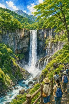
Kegon Falls
華厳の滝
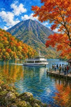
Lake Chuzenji
中禅寺湖

Ashikaga Flower Park
あしかがフラワーパーク
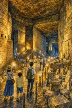
Oya History Museum
大谷資料館
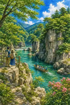
Ryuo Gorge
龍王峡

Senjogahara Plateau
戦場ヶ原
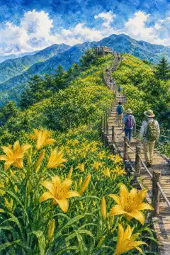
Kirifuri Plateau Kisuge-hira Enchi
霧降高原 キスゲ平園地

Watarase Wetlands
渡良瀬遊水地
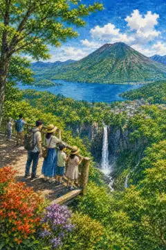
Akechidaira Observatory
明智平展望台
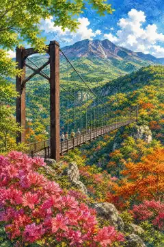
Tsutsuji Suspension Bridge
つつじ吊り橋
An Illustrated Japan
Townscape & Scenery
Streets, harbours, hillsides: the places that give a prefecture its face.
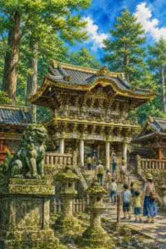
Nikkō Tōshō-gū (Tōshō Shrine)
日光東照宮
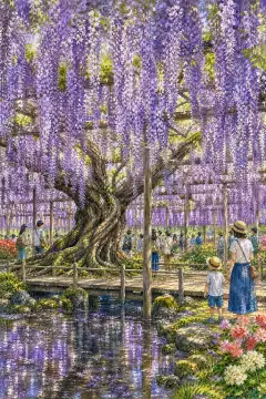
Ashikaga Flower Park
あしかがフラワーパーク
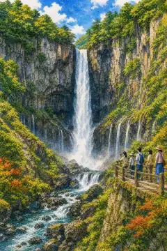
Kegon Falls
華厳の滝
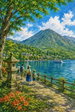
Lake Chūzenji
中禅寺湖
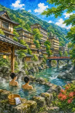
Scenic Gorges of Kinugawa Onsen
鬼怒川温泉の渓谷美

Irohazaka
いろは坂

Nasu Highlands
那須高原
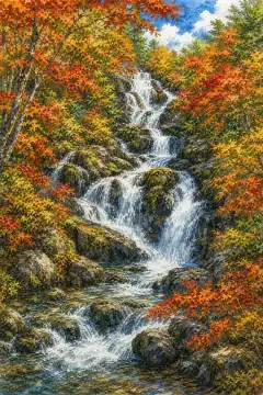
Ryuzu Falls
竜頭の滝
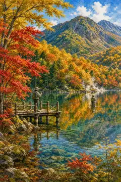
Lake Yunoko
湯ノ湖

Senjogahara Marshland
戦場ヶ原
An Illustrated Japan
Culture & Tradition
Crafts, festivals, temples and the traditions still practised today.
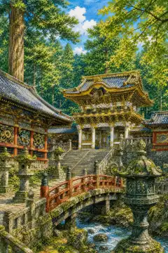
Shrines and Temples of Nikko
日光の社寺

Mashiko pottery
益子焼
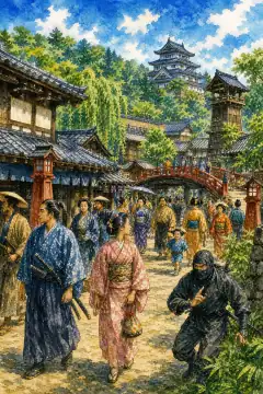
Edo Wonderland Nikko Edomura
日光江戸村
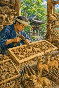
Nikko-bori (Nikko carving)
日光彫

Yuki Tsumugi
結城紬
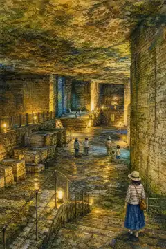
Oya Stone Quarry (former quarry)
大谷石採掘場跡
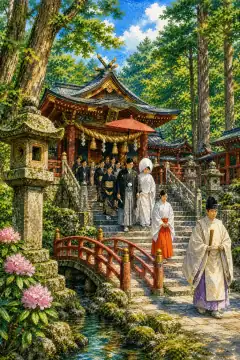
Nikko Futarasan Shrine
日光二荒山神社
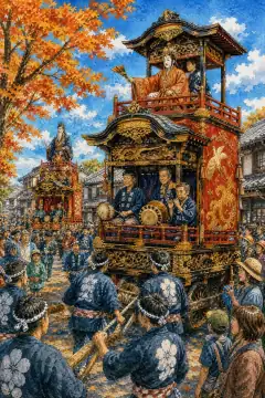
Kanuma Autumn Festival
鹿沼の秋まつり
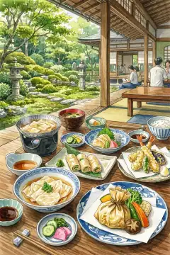
Nikko Yuba Cuisine
日光の湯波(ゆば)料理
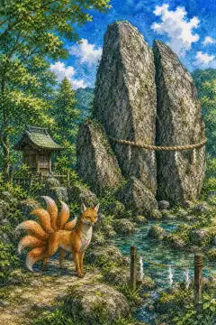
Sessho-seki (Killing Stone) — Nasu
那須の殺生石
An Illustrated Japan
Life & Daily
Food, bathhouses, morning routines — what an ordinary day tastes like.

Utsunomiya Gyoza
宇都宮餃子

Strawberry Picking
いちご狩り

Stay at a Hot Spring Ryokan
温泉旅館での滞在

Stroll through Tochigi City's Warehouse District
蔵の街・栃木市の散策

Lemon Milk (Tochigi)
レモン牛乳

Sano Ramen
佐野ラーメン
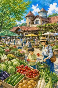
Michi-no-Eki Utsunomiya Romantic Village
道の駅うつのみや ろまんちっく村

Nasu Highlands Farm Experience
那須高原の牧場体験

Scenic Local Train Journeys — Yagan Railway & Watarase Keikoku Railway
ローカル線の旅(野岩鉄道・わたらせ渓谷鐵道)

Jazz Bars in Utsunomiya
宇都宮のジャズバー
About Tochigi
Tochigi Prefecture is located in the northern Kanto region of Honshu, with an area of 6,408.09 square kilometers, the largest in Kanto and 20th nationwide, and a population of about 1,857,000 as of July 2026. Its capital is Utsunomiya City, the most populous city in northern Kanto with about 510,000 residents. Geographically, the prefecture divides into two major zones: the mountainous northwest formed by the Nasu volcanic chain, Mt. Takahara, the Nikko Range including Mt. Nantai and Mt. Nikko-Shirane, its highest peak at 2,578 meters, and the Ashio Mountains, designated as Nikko National Park and Oze National Park; and the flat to hilly southeast where the Kinugawa, Nakagawa and Watarase Rivers flow from those ranges to form the northern edge of the Kanto Plain and the alluvial fan of Nasunogahara. Historically Tochigi corresponds to ancient Shimotsuke Province, which split from Keno Province. During the Edo period, domains such as Utsunomiya and Ashikaga flourished as post towns on the Nikko Kaido leading to the Tokugawa shrine. The present prefecture was formed in 1871-73 through the merger of Tochigi and Utsunomiya prefectures following haihan-chiken, with further adjustment in 1876. Climate is Pacific-side: hot, humid summers and dry, sunny winters with little snow on the plains. Thunderstorms are frequent in summer; Utsunomiya is called the city of thunder, recording over 20 thunder days in summer on average. Precipitation exceeds 2,000 mm in Okunikko with subarctic climate at higher elevations, while the southern plains see about 1,200 mm and a warm-temperate Cfa climate. Agriculture thrives on the plains and highlands, with strawberries ranked first in Japan for more than 50 years, kanpyo dried gourd, leeks, rice and barley, plus dairy and livestock on the Nasu Highland. Industry forms part of the Kita-Kanto Industrial Region along the Tohoku Expressway and National Route 4, with automotive plants linked to Nissan and Honda in Utsunomiya, Mooka, Kaminokawa and Haga, tire manufacture, precision machinery, medical devices and photographic lenses in Nasushiobara and Otawara, and traditional textiles in Yuki Tsumugi and Ashikaga Meisen. Commerce centers on Utsunomiya as a regional hub. For visitors, Nikko’s Toshogu Shrine decorated with thousands of carvings and sleepy cats, Futarasan Shrine and Rinnoji Temple together form a UNESCO World Heritage Site, while nearby Lake Chuzenji, Kegon Falls accessed via Irohazaka winding road, Senjogahara marshland and Yumoto Onsen create the scenic Okunikko area. The Nasu Highlands offer Nasu Onsen villages, Mt. Chausu, Sessho-seki stone, ranch and Imperial villa, while Mashiko is famous for Mashiko pottery workshops and Ashikaga School preserves Japan’s oldest academic heritage.