Mizuky Workshop / An Illustrated Japan / Kanto / Gunma
Gunma
40 illustrations · 群馬県 · 群马县 · 群馬縣
Gunma Prefecture occupies northwestern Kanto, an inland prefecture with Maebashi as its capital and Takasaki as its largest city. About 6,362 square kilometers in area and with some 1.87 million residents, its southeast is the urbanized Kanto Plain while its west and north rise into the Mikuni Range, Mt. Asama and the Three Mountains of Jomo — Akagi, Haruna and Myogi. Rooted in silk, konjac and vegetable farming, Gunma now blends that heritage with automotive engineering and offers abundant hot springs and outdoor recreation, drawing water from the upper Tone River system that supplies the metropolitan region.
An Illustrated Japan

Famous Views
The sights a prefecture is known for — the ones on the postcards, and a few that should be.
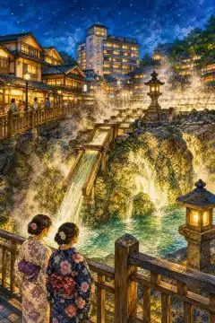
Yubatake
草津温泉 湯畑
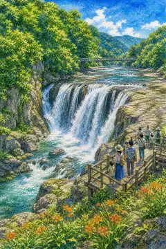
Fukiware Falls
吹割の滝
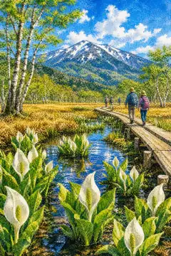
Ozegahara
尾瀬ヶ原
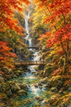
Terihakyo Gorge
照葉峡
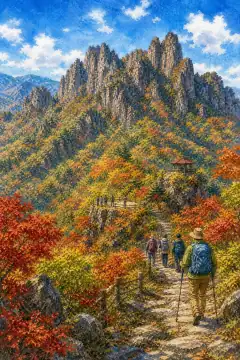
Mt. Myogi
妙義山
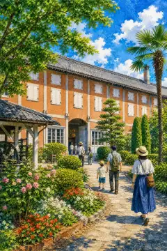
Tomioka Silk Mill
富岡製糸場
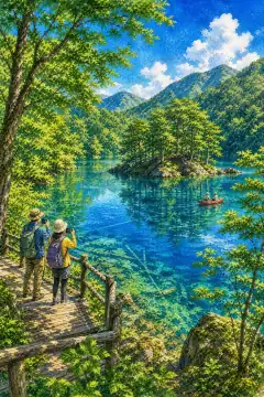
Okushimako Lake
奥四万湖
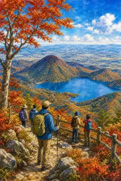
Mount Akagi
赤城山
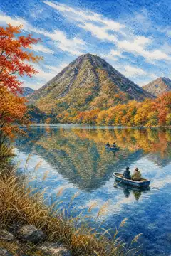
Lake Haruna
榛名湖
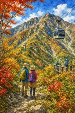
Mount Tanigawa
谷川岳
An Illustrated Japan
Townscape & Scenery
Streets, harbours, hillsides: the places that give a prefecture its face.
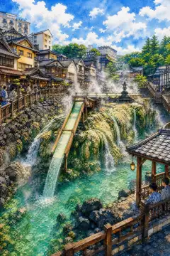
Kusatsu Onsen
草津温泉
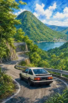
Mount Haruna (Akina)
榛名山(秋名山)
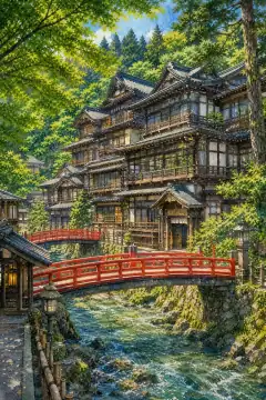
Shima Onsen (Sekizenkan)
四万温泉(積善館)
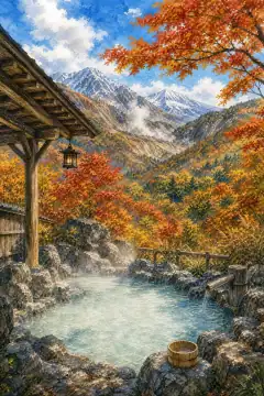
Manza Onsen
万座温泉
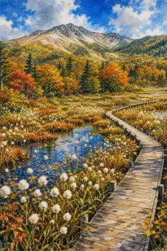
Yoshigahira Wetlands
芳ヶ平湿地群
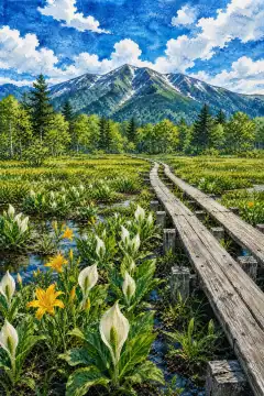
Oze National Park
尾瀬国立公園
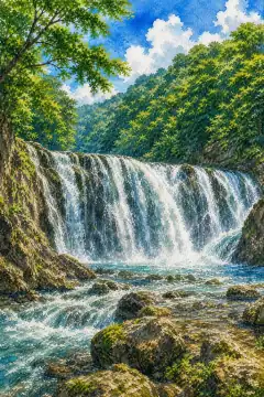
Fukiware Falls
吹割の滝
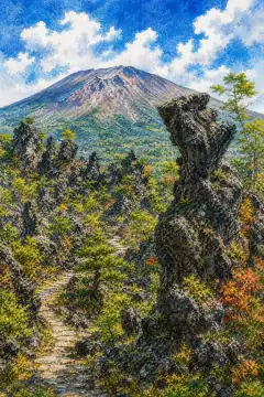
Onioshidashi Park
鬼押出し園
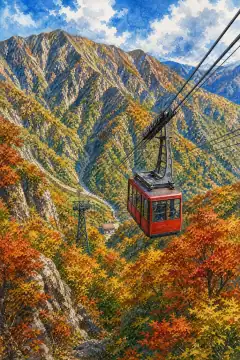
Tanigawadake Ropeway
谷川岳ロープウェイ
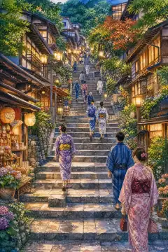
Ikaho Onsen Stone Steps
伊香保温泉の石段街
An Illustrated Japan
Culture & Tradition
Crafts, festivals, temples and the traditions still practised today.
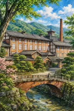
Tomioka Silk Mill
富岡製糸場
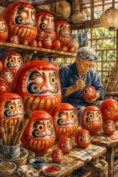
Takasaki Daruma
高崎だるま
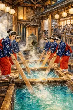
Yumomi (hot-water stirring)
湯もみ
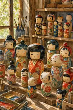
Usaburo Kokeshi
卯三郎こけし
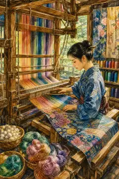
Kiryu-ori (Kiryu Textiles)
桐生織
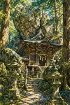
Haruna Shrine
榛名神社
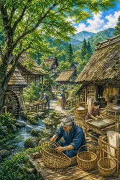
Takumi no Sato (Artisan Village)
たくみの里
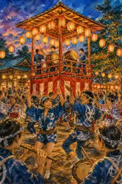
Kiryu Yagibushi Festival
桐生八木節まつり
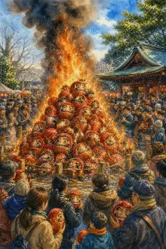
Maebashi Hatsuichi Festival
前橋初市まつり
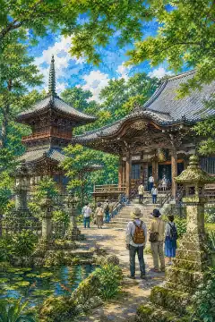
Mizusawa Kannon (Mizusawa-dera)
水沢観音
An Illustrated Japan
Life & Daily
Food, bathhouses, morning routines — what an ordinary day tastes like.
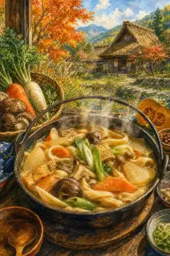
Okkirikomi
おっきりこみ
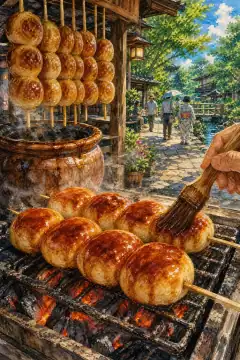
Yaki Manju (Grilled Miso-Glazed Buns)
焼きまんじゅう
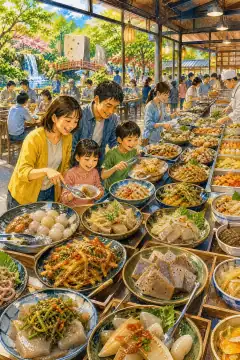
Konjac Park
こんにゃくパーク
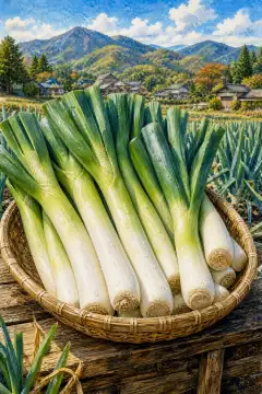
Shimonita Green Onion (Shimonita Negi)
下仁田ネギ
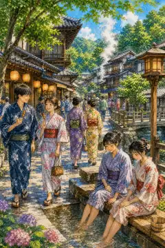
Stroll through an onsen town
温泉街の散策
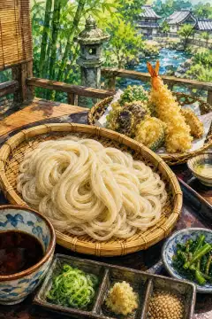
Mizusawa Udon
水沢うどん
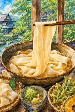
Himokawa Udon
ひもかわうどん
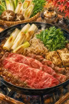
Sukiyaki
すき焼き
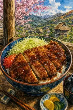
Sauce Katsu-don
ソースかつ丼

Fruit Picking
フルーツ狩り
About Gunma
Gunma Prefecture lies in northwestern Kanto, landlocked among five prefectures including Fukushima, Niigata and Nagano, with an area of 6,362.28 square kilometers ranking 21st and a population of about 1,865,000 ranking 18th nationwide. Its capital is Maebashi with about 320,000 residents, while neighboring Takasaki with about 360,000 is the commercial and transport core, forming a twin-city metropolitan area of about 1.26 million, the largest in northern Kanto. Geographically, the southeastern third is the flat Kanto Plain where about 70 percent of residents live, while the western and northern two-thirds are mountainous, stretching from the Mikuni Range along the Niigata border through Tanigawa-dake, Hotaka and the Joshinetsu Highlands to Mt. Asama on the Nagano border, an active volcano, plus the iconic Jomo Sanzan: Akagi, Haruna and Myogi. The Tone River originates at Ominakami-yama and collects the Agatsuma, Karasu and Watarase rivers before flowing to the Pacific, and its upper dams provide hydroelectric power and drinking water to Tokyo. Historically Gunma is ancient Kozuke Province, formerly Kami-Tsuke-no-kuni split from Keno, still known as Joshu or Jomo. The Kofun era left numerous burial mounds celebrated in the Jomo Karuta poem. The county name Gunma meaning horse herd dates to Nara times, reflecting horse breeding. The modern prefecture was created in December 1871 from eight small domains and moved its office between Takasaki and Maebashi. Climate varies sharply with elevation: southern plains are Pacific climate Cfa with extreme summer heat, often exceeding 39-40C due to foehn from Mt. Akagi and Tokyo’s heat island, producing many severe tropical nights, while winter is dry with strong karakaze winds called Akagi-oroshi and few snows. Northern mountains are Sea-of-Japan and Central Highland climates, with heavy snow: Minakami Fujiwara recorded 301 cm in 2006, Katashina is Kanto’s only special heavy-snow zone, summer remains cool and suited for避暑. Thunder is frequent along mountain corridors, dubbed the thunder ginza. Industry combines traditional and modern: konjac root first in Japan, wheat, cabbage, livestock and dairy, sericulture leading to the Tomioka Silk Mill, a UNESCO World Heritage site that modernized Japan’s silk industry. Since the mid-20th century, Ota City became home to Subaru’s auto plants, Kiryu retains weaving as a textile capital, and Takasaki-Mebashi hosts precision machines, electronic components and food processing. Northern Hidaka supplies hydropower and ski resorts. Tourism showcases the silk mill’s brick buildings and mechanized reeling, Kusatsu Onsen with its Yubatake hot-water field cooling acidic sulfur waters and Yugama crater lake, Ikaho’s stone steps, Shima and Manza onsen, Oze National Park’s vast high moor of Ozegahara and Ozenuma lake shared with Fukushima, and the windswept ridges of Akagi-Ono lake and Haruna shrine, plus fruit picking, rail heritage and onsen trekking routes.