Mizuky Workshop / An Illustrated Japan / Chubu / Toyama
Toyama
40 illustrations · 富山県 · 富山县 · 富山縣
Toyama Prefecture, 4,247.6 km2 with about 978,000 residents, capital Toyama City, sits central Hokuriku facing Toyama Bay listed among most beautiful bays in the world. Backed on three sides by the Northern Alps including Tateyama 3,015 m and Tsurugi 2,999 m with Japan's only glaciers, it inherits old Etchu Province's medicine peddler heritage, now leads Japan in aluminum building materials and YKK fasteners thanks to abundant hydropower, and offers superb seafood like white shrimp and firefly squid along with unique compact tram and mountain scenery.
An Illustrated Japan

Famous Views
The sights a prefecture is known for — the ones on the postcards, and a few that should be.
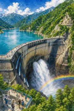
Kurobe Dam
黒部ダム
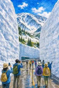
Yuki no Otani
雪の大谷
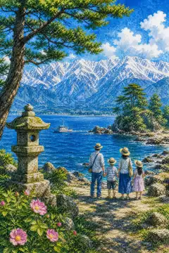
Amaharashi Coast
雨晴海岸
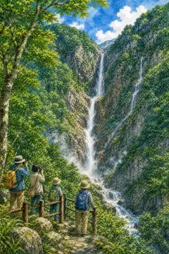
Shomyo Falls
称名滝
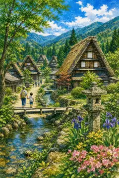
Gokayama Gassho-zukuri Village
五箇山合掌造り集落
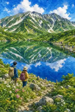
Mikurigaike
みくりが池
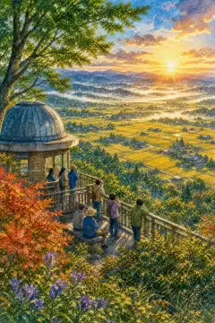
Sankyo-mura Observatory
散居村展望台
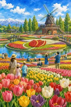
Tonami Tulip Park
礪波チューリップ公園
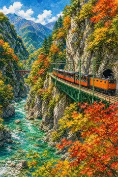
Kurobe Gorge
黒部峡谷
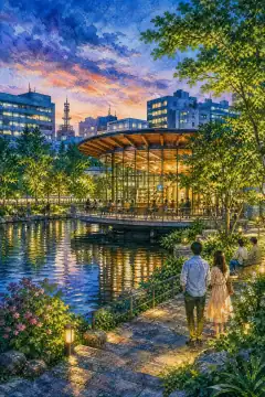
Fugan Unga Kansui Park
富岩運河環水公園
An Illustrated Japan
Townscape & Scenery
Streets, harbours, hillsides: the places that give a prefecture its face.
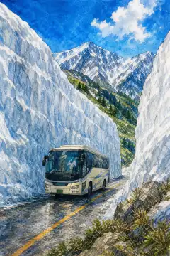
Tateyama Kurobe Alpine Route
立山黒部アルペンルート
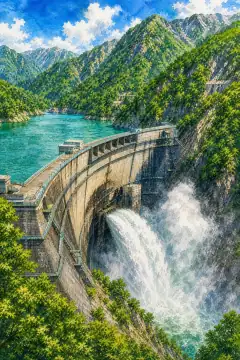
Kurobe Dam
黒部ダム
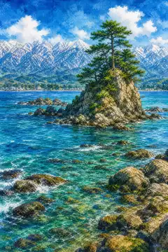
Amaharashi Coast
雨晴海岸
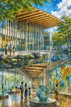
Toyama Glass Art Museum
富山市ガラス美術館
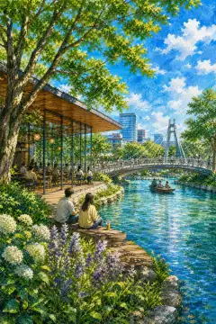
Fugan Canal Kansui Park
富岩運河環水公園
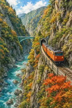
Kurobe Gorge
黒部峡谷
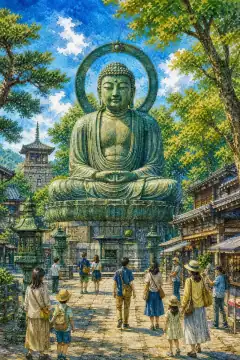
Takaoka Daibutsu (Takaoka Great Buddha)
高岡大仏
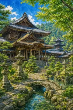
Zuiryu-ji Temple
瑞龍寺
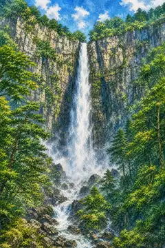
Shomyo Falls
称名滝
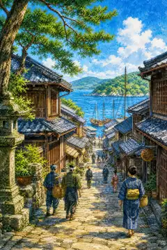
Iwase Historic District
岩瀬の古い町並み
An Illustrated Japan
Culture & Tradition
Crafts, festivals, temples and the traditions still practised today.
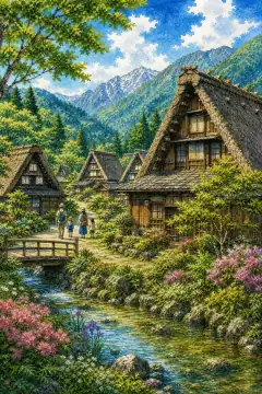
Gokayama Gassho-style Villages
五箇山の合掌造り集落
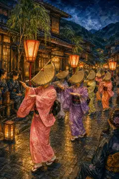
Owara Kaze no Bon Festival
おわら風の盆

Inami Woodcarving
井波彫刻
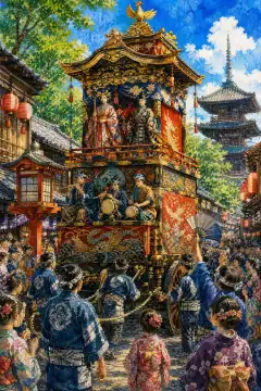
Johana Hikiyama Festival
城端曳山祭
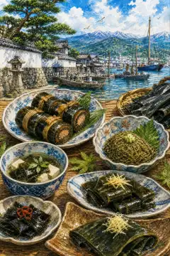
Kombu Culinary Culture
昆布食文化

Takaoka Copperware
高岡銅器
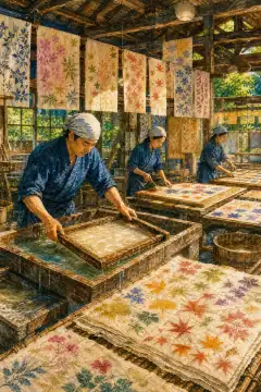
Etchu Washi
越中和紙
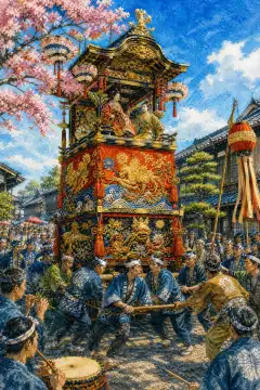
Takaoka Mikurumayama Festival
高岡御車山祭

Toyama's Medicine Peddler Tradition
薬売り文化

Sedge Straw Hat Making (Sugegasa)
菅笠づくり
An Illustrated Japan
Life & Daily
Food, bathhouses, morning routines — what an ordinary day tastes like.

Toyama Bay Seafood
富山湾の海鮮
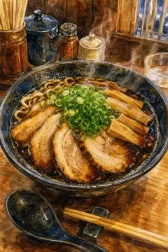
Toyama Black Ramen
富山ブラックラーメン

Masu no Sushi
ますのすし
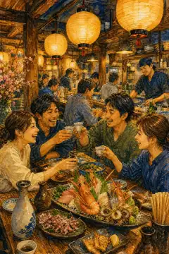
Izakaya Culture
居酒屋文化

Public Baths and Onsen Culture
銭湯・温泉文化
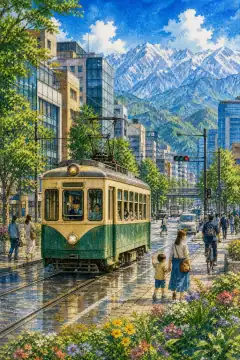
Toyama City Trams
路面電車(市電)

Shiro-ebi (White Shrimp) Dishes
白エビ料理

Firefly Squid Fishing
ホタルイカ漁
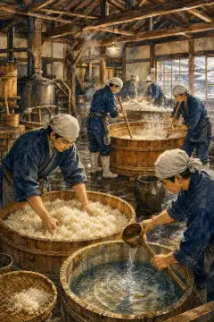
Local Sake Brewing
地酒造り
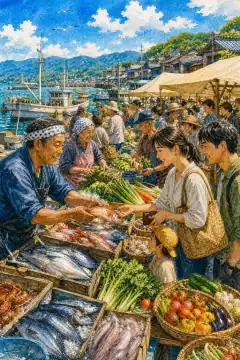
Morning Markets (Himi and other port towns)
朝市(氷見など)
About Toyama
Toyama Prefecture covers 4,247.60 km2, 33rd nationwide, 977,740 people density 230 per km2, capital Toyama City Shinsokurawa, smallest municipality count at 15 due to Heisei mergers. Mainland surrounded north by Toyama Bay 120 km of Sea of Japan, a semi-enclosed deep bay up to 1,000 m creating upwelling nutrients, east Oyashirazu cliffs bordering Niigata, south Hida Mountains Northern Alps including Tateyama 3,015 m and Tsurugi 2,999 m hosting Japan's only currently confirmed glaciers discovered 2023, west Hogotaka hills toward Ishikawa. Central plains Toyama and Tonami formed by seven major rivers Kurobe, Katakai, Hayatsuki, Joganji, Jinzu, Sho, Oyabe combining into composite alluvial fans with scattered isolated farmhouses called kaze-no ie windbreak forests. Historically Etchu Province separated from Koshi in 701, legend of Saeki no Ariyori opening Tateyama faith 701 hunting white hawk, 746-751 Otomo no Yakamochi as Etchu kokushi composed 337 poems in Man'yoshu including Tateyama snow melting. In Edo Kaga Domain and subsidiary Toyama Domain ruled, promoting kitamaebune sea trade and Etchu Toyama no Kusuriuri medicine peddlers who carried terriko case on back nationwide, developing ikedamohando herbal tradition. After haihan chiken provisional Toyama and Nii-kawa prefectures merged into Ishikawa 1871, flood control of Jinzu and Joganji neglected fueling separation movement culminating May 9 1883 modern Toyama reinstated. Climate Japan Sea side entirely heavy-snow zone, special heavy south mountains; Toyama City January 2.5°C August 26.1°C precipitation 2,200 mm, peak snow Dec-Jan 255 mm, coastal summer foehn hot humid over 35°C days; Tateyama Murodo 2,450 m snow wall April persists over 5 m, subalpine. Industry core Hokuriku industrial region: abundant hydropower cheap spawned 1930s aluminum smelting with Nippon Light Metal roots leading to YKK zipper world share 45%, Sankyo Tateyama building sash, plus steel electric furnaces, chemicals pharma cluster Toyama Chemical, Fujifilm Toyama, medicine heritage 17th century; Fushiki-Toyama Port international hub connecting Vladivostok; fisheries Toyama Bay esteemed firefly squid spawning April surface light show natural monument and white shrimp transparent delicacy. Tourism highlights impressive Alpine Route crossing 3,000 m vertical from Tateyama Station 475 m to Murodo 2,450 m via cable, buses, tunnel trolleybus, to Ogisawa in Nagano, cutting 20-meter Yukino-Otani snow corridor each April, Kurobe Dam 186 m arch highest in Japan built 1956-1963 costing 171 lives, UNESCO Gokayama gassho-zukuri thatched steep roofs 60° shedding snow, Zuiryuji Temple National Treasure Zen 1583, Takaoka Great Buddha and craft, Uozu mirage phenomenon Fata Morgana spring, and Toyama City's glass art museum by Kengo Kuma, making compact Japan of sea to 3,000 m alpine.